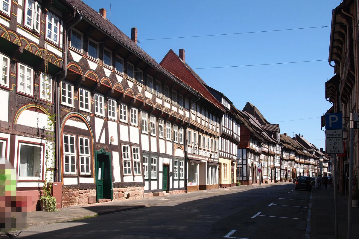
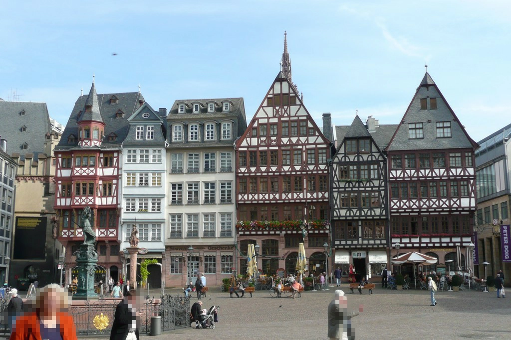
It would seem that half-timbered towns are nothing new for us. But Einbeck turned out to be a real jewel in our collection: here you don’t need to look for a couple old buildings on the map, you get the feeling that the city has hardly changed since the 16th century.
Germany
Wadden Sea Schleswig-Holstein: Büsum, Husum, Friedrichstadt
Let’s continue to explore Wadden Sea. This time the section between Büsum and Husum, the center of which is occupied by the large peninsula of Eiderstedt, crowned by the resort of St. Peter Ording (SPO).
This central part of the western coast of Schleswig-Holstein is the most developed. Higher up are the islands and the so-called Hallige – unprotected islands that do not have dikes – and go all the way to the island of Sylt and the Danish border. Below is a large protected area around Friedrichskoog.
Schwäbisch Gmünd and Aalen
Schwäbisch Gmünd and Aalen lie on the “short” road from Stuttgart to Nuremberg. Here the Swabian Alb ends, passing into the hilly Swabia, with deep winding valleys in which tributaries of the Neckar flow – three tributaries begin near Aalen. Previous generations fully appreciated the landscape: the Romans and medieval Swabians left in the region the remains of ancient Roman fortresses and a chain of half-timbered towns with city walls.
The region is suitable for excursions from Stuttgart or Ulm or for short holidays.
Romantic Franconia
This map includes a significant part of the Northern Romantic Road route, the Romantic Franconia region, as well as the Franconian Lakes.
High Black Forest map
The High Black Forest is the southern part of the mountain range around the Feldberg mountain. This part is named high for a simple reason – here is the highest point of the Black Forest. The set includes narrow mountain roads, high, albeit thin, waterfalls and gorges.
After the Triberg waterfall, Lake Titisee and Feldberg are the second point of attraction for the largest number of tourists, which is facilitated by the only convenient federal road from east to west in the Black Forest, passing from Freiburg past Titisee, and a greater amount of snow on the mountain in winter.
Rhine valley boat tours, public transport and welcome cards
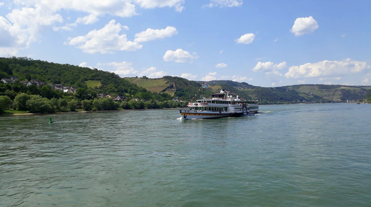
This topic is about the Moselle and Rhine Valley boat tours, welcome cards in the region and the rather complicated public transport tariff system around Frankfurt to Koblenz. The difficulty lies in the fact that the tourism region is divided into Rhineland-Palatinate and Hesse, and they have very different attitudes towards public transport.
Lübeck old town
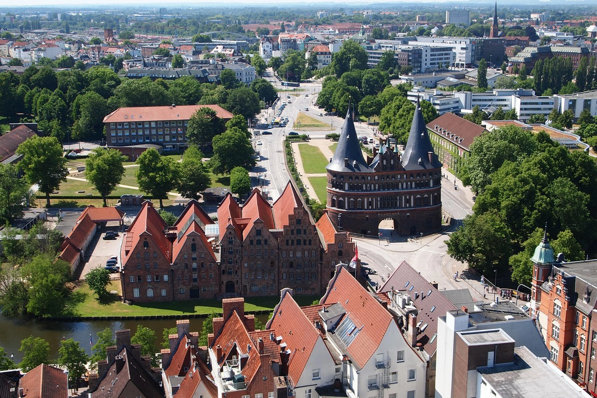
Lübeck is a well-preserved Hanseatic city with an unusual layout. The central position in the Hansa provided him with wealth and prosperity. The feeling of prosperity has faded since then, but has not disappeared: the city now looks well-kept and very visited. It deserves a full day excursion – from nearby beach towns or from Hamburg.
Attractions around Frankfurt am Main, along the Rhine to Koblenz
Map of attractions around Frankfurt am Main and along the Rhine from Frankfurt up to Koblenz.
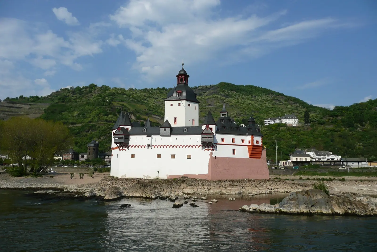
Rhine castles from Kaub to Koblenz and Lorelei rock
We continue the story of the Rhine castles. In this part, we will explore the central and most picturesque part of the Rhine valley from Kaub to Koblenz, where the Lorelei rock is located. Here the banks of the Rhine become higher, and each castle has its own romantic history.
Welcome cards and public transport in Dresden and surroundings
In this topic, we will look at public transport in Dresden and around and several welcome cards that can be used here.

