Last Updated on 01/02/2024
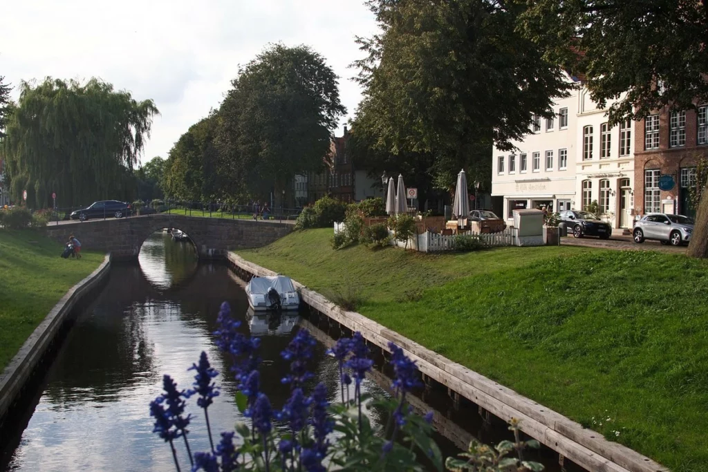
Let’s continue to explore Wadden Sea. This time the section between Büsum and Husum, the center of which is occupied by the large peninsula of Eiderstedt, crowned by the resort of St. Peter Ording (SPO).
This central part of the western coast of Schleswig-Holstein is the most developed. Higher up are the islands and the so-called Hallige – unprotected islands that do not have dikes – and go all the way to the island of Sylt and the Danish border. Below is a large protected area around Friedrichskoog.
Eiderstedt Peninsula. Sankt Peter Ording
Schleswig Holstein Sehenswürdigkeiten Karte
Küste Deutschlands. Hamburg und Niedersachsen Sehenswürdigkeiten
Lübeck Altstadt
Cuxhaven Döse und Duhnen
Cuxhaven Zentrum
Bremerhaven Sehenswürdigkeiten
Lüneburger Heide Sehenswürdigkeiten. Schneverdingen
The Wadden Sea coast (Wattenmeer) is essentially one large protected area with short breaks for resorts and port passages. The Wadden Sea is not about swimming, as we already found out in Cuxhaven. It’s about nature, meditation, renting bikes for pennies, sheep, nature, wind turbines, dams, nature, crabs and shrimp, ebbs and flows, organic farms…
For Germans, the North Sea is, on the one hand, such a romantic location, a common setting for German romance novels, and on the other, an obligatory, albeit rather boring, destination for a family holiday.
Swimming is possible, but very specific. There is entertainment, but less than on the Baltic side of Schleswig-Holstein. On the other hand, the Baltic coast is quite close and you can go on day excursions to some places.
Is this holiday right for you? It’s hard to say, you have to try it. But to avoid unnecessary disappointments, make sure you understand what the city you are going to is like. They are very different in terms of shore/beach/entertainment/accessibility. The differences here are much greater than on the Baltic side, where the main difference is accessibility.
My personal rating for today
See each resort for more details.
Beach (to sit, play etc.)
1. Sankt Peter Ording, Cuxhaven (Duhnen, Sahlenburg)
2. Büsum (lagoon)
Sea (to swim)
1. St. Peter Ording (main) – but there are the waves
2. Büsum – depends on the tides, but in the lagoon all the time
Sea (fun with small creatures and shallow water for children, that is, a good mud flat (Watt))
1. Büsum at low tide (lots of creatures)
2. Cuxhaven Sahlenburg
2. SPO – Westerhever (small northern beach – wildlife and wonderful shallow waters)
Infrastructure
1. Cuxhaven Duhnen, Sahlenburg (playgrounds, small swimming pools, food)
2. SPO (SPO Bad: playgrounds, food)
3. Büsum (but food in the center, not by lagoon)
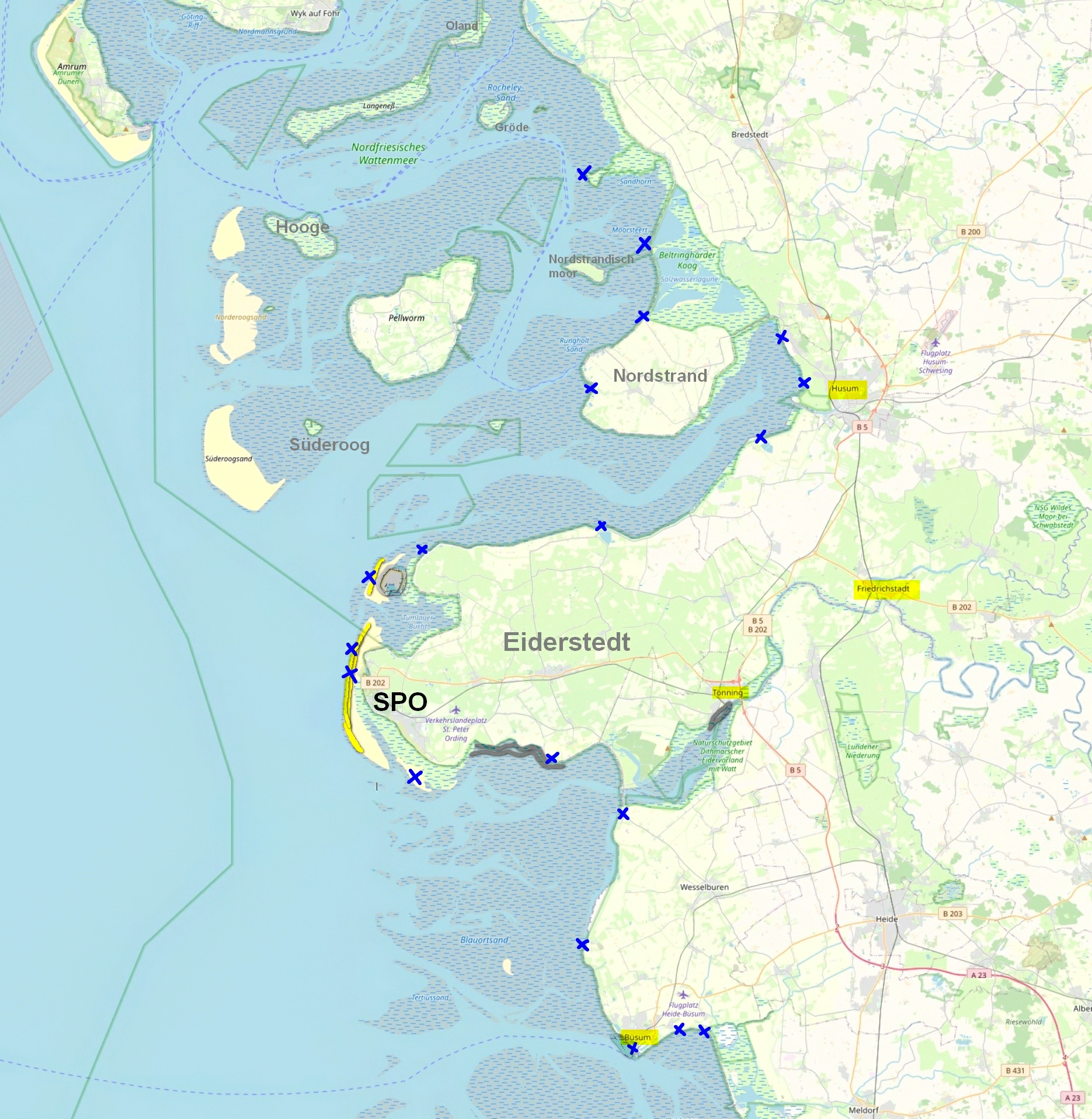
Wadden Sea – map of the region between Husum and Büsum
Let’s look carefully at the symbols on the map.
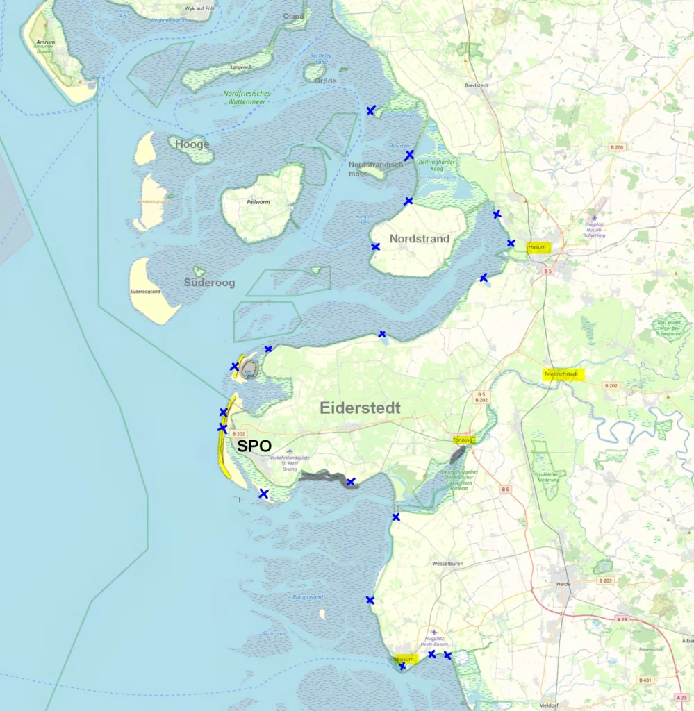
To the north are islands and Hallige. The latter are completely or partially flooded at high tides, which is also indicated on the map. You can visit them with excursions. They show either seals or flowering meadows. Both – in warm weather (in winter, seals hang out in the sea). The Wadden Sea is home to harbor seals (Seehund) and grey seals (Kegelrobbe). In autumn and spring there is an assortment of birds in large quantities. Since there are practically no predators on Hallige, the birds feel great. Lists of guides and excursions are available in brochures at information centers. There are also brochures about what birds you can see.
If you see on the map a railroad going to some island, don’t believe your eyes. There is train service only to the island of Sylt. What is indicated on the map are narrow-gauge freight railways used by local residents. Every local resident has a mini-train with a trailer. The use of these roads is strictly regulated. Sometimes they are allowed to bring their guests, sometimes not. But day tourists are not picked up.
The gray-blue striped areas are Watt, mud flat. At low tide there are kilometers of ankle- or knee-deep water, but at high tide or in the channels it can be relatively deep, so no one has canceled the safety rules (carry a piece of paper with you with the times of the tides and always have time to return).
For unsupervised walking along the watt, you only have the coastal strip. For long walks in protected areas (for example, Hallige) you need to join excursions.
Tidal creeks (Priele) – these are blue branching stripes, they sometimes run along the coast, this can be seen on larger maps. They fill with water very quickly at high tide, faster than the rest of the Watt. If the channel runs along the shore and you take a walk too far along the Watt, you may have to swim to the shore. The tidal creeks have a fast flow and are therefore dangerous.
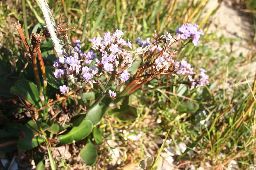
The striped green is tidal vegetation (“salt meadow”, Salzwiese). Since the tides are always of different heights, this vegetation can be different: in some places it is practically a swamp, and in others there are very beautiful water meadows or shrubs. Previously, these meadows were trimmed by sheep, then they began to be left alone. Even at the end of August there is something to bloom there, and in summer it is simply beautiful. Without decent trails, I don’t recommend venturing into them – seemingly harmless channels with 2 centimeters of water with a dark, seemingly strong bottom turn out to be multi-centimeter reservoirs of dirt. It doesn’t wash well – my older one checked it on his boots.
Do you enjoy the site without cookies? This means that I work for you at my own expense.
Perhaps you would like to support my work here.
Or change your cookie settings here. I don’t use personalized ads
The further inland to the “mainland”, the more dirt is applied. For example, Tönning has mud up to your waist. Literally. I marked the mud baths I met as dark grey.
Bright yellow – sandbank (Sandbank). Beautiful endless strips of sand, which are only found in SPO and on the island of Amrum and as a narrow strip on Sylt.
Beaches (Strand) and swimming areas (Badestelle) are marked with blue crosses. Read reviews on Google if we want to visit small beaches. It may turn out that the “beach” is just a staircase into the water.
In this part we will look at Husum, Friedrichstadt and Busum. In the next part we will look at the Eiderstedt Peninsula.
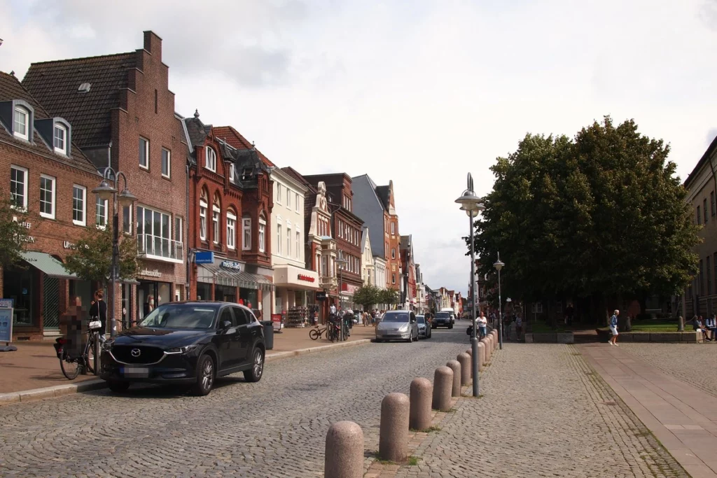
Husum
Husum is not a resort, but a relativ large city. It has a beach, but it is insignificant and not near the center.
During the Hanseatic Wars, the harbor of Husum became important because it was not involved in the conflicts. The city grew, but did not have city rights. To get city rights, the city unsuccessfully took part in the uprising against the Duke, thereby shooting itself on takeoff (and finally). And although the Duke built himself a palace here, history never turned its face to the city. Therefore, you should not expect any big attractions from it. This is such an easy trip on a rainy day.
Husum has:
the historical center consists of one wide short street and some alleys,
historical harbor
excellent maritime museum (of the three visited in this trip (also Flensburg and Kiel) – the best)
museum in the palace
historic farm Ostenfelder Bauernhaus
local history museum
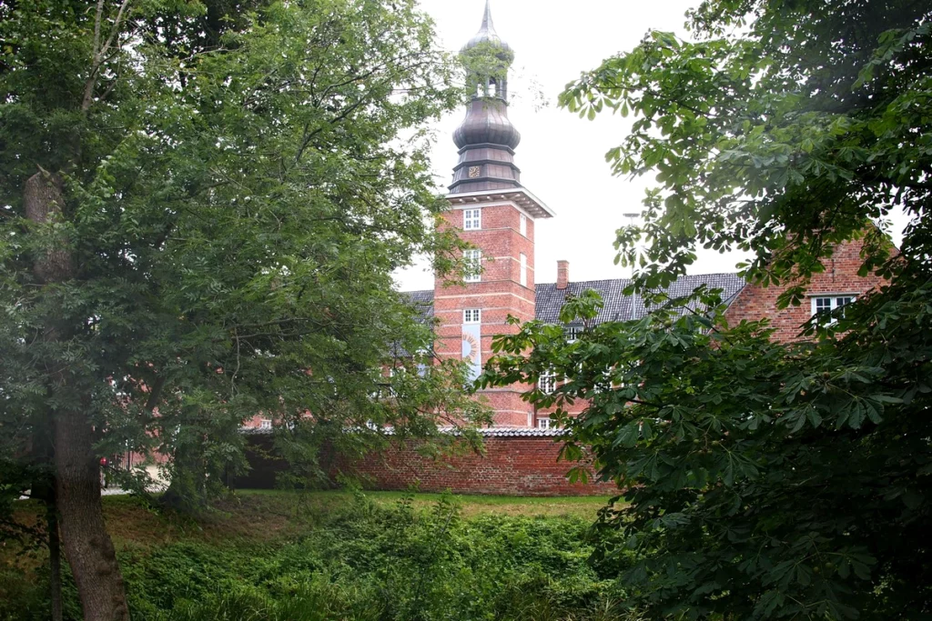
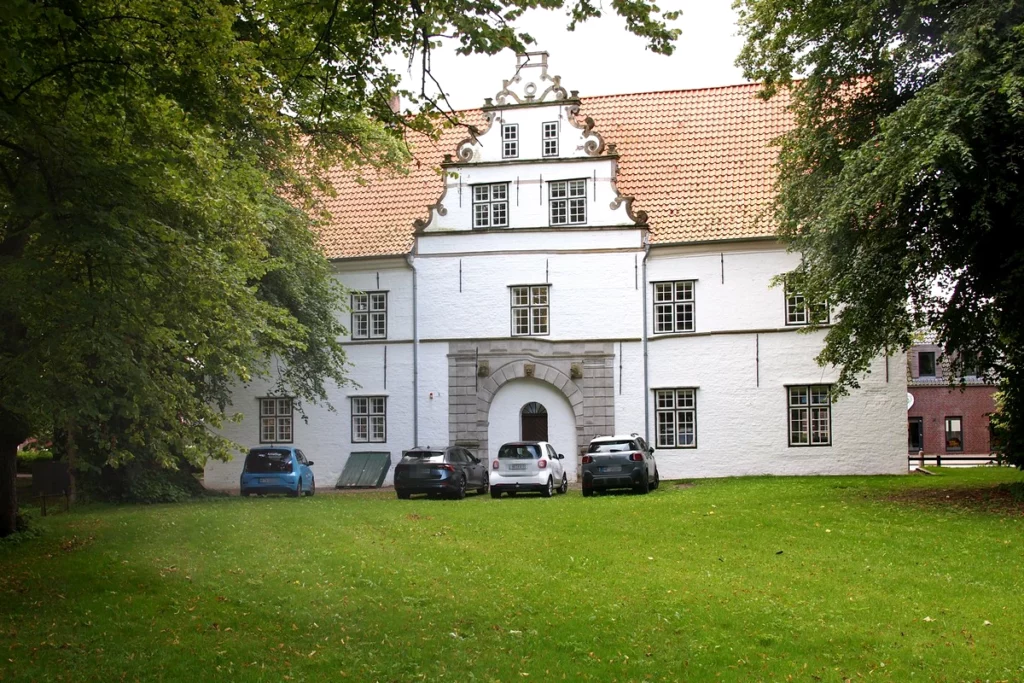
Schloss vor Husum palace was built in the late 16th century in Dutch Renaissance style for the Dukes of Schleswig-Holstein as a residence for trips to the west coast. It was used, however, rarely. Mostly widows lived here so as not to disturb their daughters-in-law in the main palace.
The Danish royal house modernized the palace during its reign, simplifying it, since by that time it had already begun to fall apart. But they hardly used it either. After the Danes, the building passed to the city administration. Little remains of the interiors. There is a museum and a music school in the palace. Its park is best known for the spring flowering of crocuses.

Cavalier’s house next to the palace. Served as a guest house.
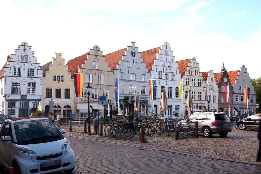
A short street leads from the palace to the Market Square and the old town hall (information center).

In addition to the old town hall, there is a church in the classicist style on the Market Square. The tower from the old church was collapsed due to instability. Art treasures, including a carved altar by Brüggemann, were sold off. In general, the residents of Husum were not distinguished by their foresight: they either took part in uprisings, or did not think about the tourist heritage.
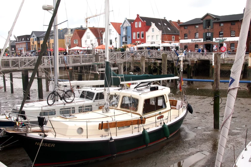
Another short street and you find yourself in Husum harbor.
Low tide, no water. The blue ship is a restaurant. There are also historical ships registered in the harbor, but when we were there there were few ships.
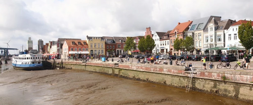
On the right is a piece of the new town hall. It was rebuilt from a shipyard, so rails lead to it for lifting ships.
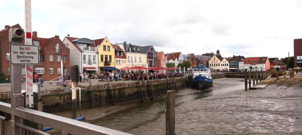
After visiting the maritime museum (it’s right there, opposite the town hall) and the historical farm, the visit can be considered completed. A walk around the old city will take no more than an hour, with a visit to all the museums about three hours.
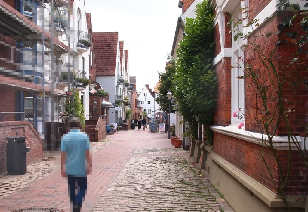
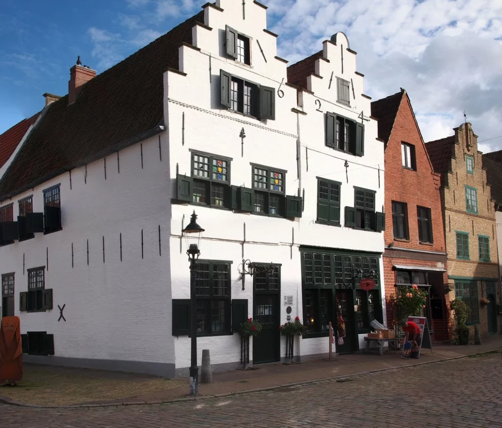
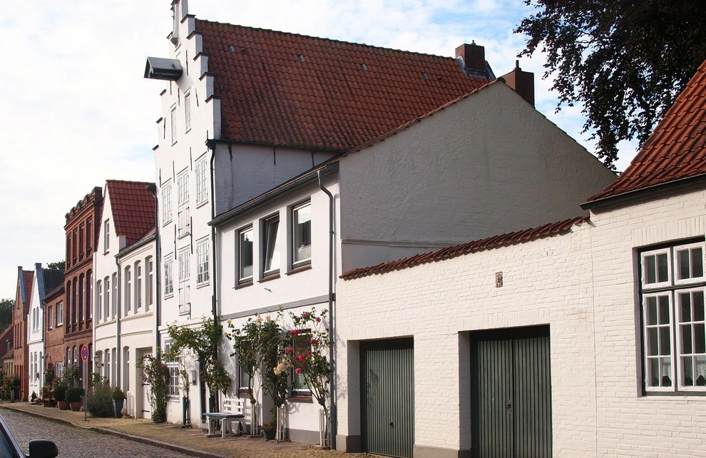
Friedrichstadt
Friedrichstadt can be reached by train.
Parking lots are located around the perimeter of the old city.
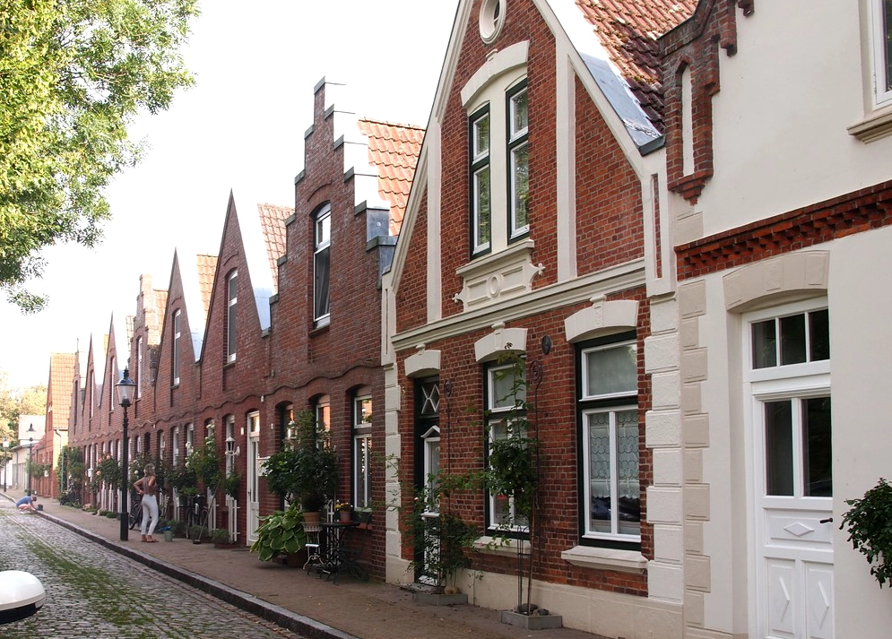
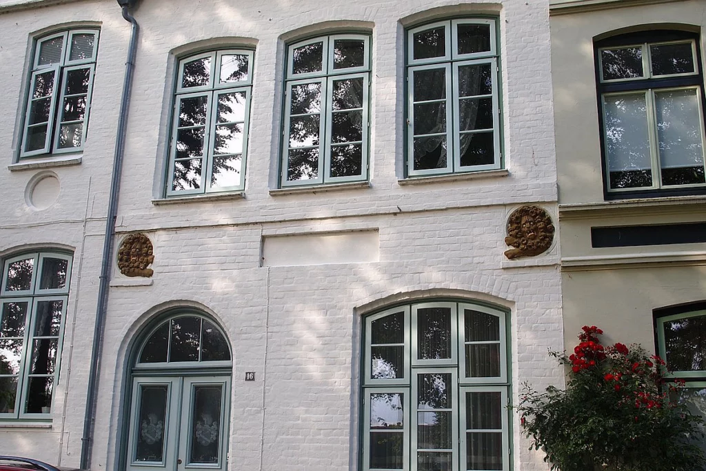
Friedrichstadt is much more interesting, although also very small. This is a beautifully preserved old 17th century market town with canals in the Amsterdam style (but not on the same scale).
Duke Friedrich 3 Gottorf really wanted commercial prosperity and to make Schleswig-Holstein a trading hub. To do this, he decided to invite trade specialists – the Dutch persecuted for their faith. He promised them religious freedom, government on the Dutch model, and Dutch as the administrative language. Other religious migrants followed the Dutch. Therefore, do not be surprised that four churches and one synagogue fit into a very small area of the city.
At first glance, it may seem unclear why it was decided to build such a trading city not near the coast. But this can be explained quite simply: while there was no Kiel Canal, the Eider River served as its role.
The 30 Years’ War and the wars with the Danes did not allow the city to develop. Many Dutch returned to their homeland because they were no longer persecuted there. But now we can enjoy its preserved state – like other cities whose development for some reason stopped, Friedrichstadt has retained its old appearance.
Market Place. The richest part.
Unfortunately, taking photos is not so easy due to the rows of parked cars.

Look the date above.
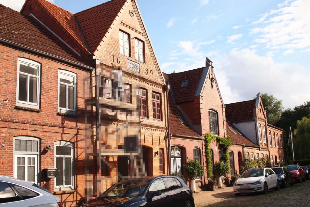
Many houses have small pictures or bas-reliefs on their facades.
You can ride along the canals (one large canal around the old city and one transverse one) either independently on a boat or canoe, or on an excursion boat.

On one side the city is surrounded by the Treene River, which immediately outside the city and after the dam flows into the Eider. They take boats to Friedrichstadt along the Eider from Tönning, but I’m not sure that this is a very interesting journey – it takes a long time to ride, and the shores are flat and monotonous.

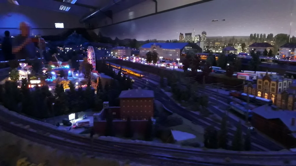
For entertainment in Friedrichstadt there is a small museum of the city of Alte Münze and a small museum with a model railway.
When you drive up and see a small house, you think that you can finish it in 20 minutes. But this small museum will give odds to many large exhibitions. The amount of detail and variety of trains is such that we spent an hour in this small museum without even noticing it, and would have stayed longer if it was still open. There are many buttons that trigger the movement of the figures, different times of day and different weather – and all this can be examined in detail at close range. The museum is definitely recommended not only for children, but also for adults.
Büsum
Finally, let’s tell you a little about Büsum. It is located at the end of a peninsula, much of which is occupied by an endless forest of windmills. But Büsum itself is located on the edge of this plantation.
Büsum is a rather large settlement that continues to be built up. The emphasis is on family resort services and it is actively developing, that is, it has not yet come to a ready form – paths are being laid, there is a lack of infrastructure. Büsum, in my opinion, chose the right direction. Developed resorts in the region are Sylt and SPO, but they are not for everyone’s budget.
There are here:
small science museum for children,
spa and pool,
good new adventure golf near free parking lot,
go-kart area,
small aquarium
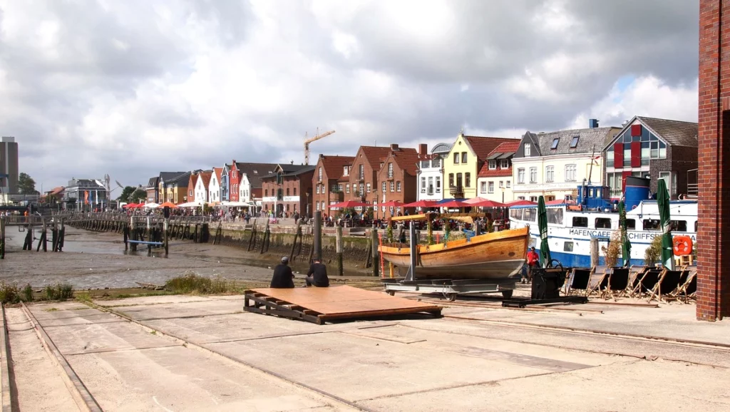
small museum harbor, port
football golf in a neighboring village
The Perlenbucht lagoon has been built, which allows swimming at any time, regardless of the tides. Half of the shore of the lagoon is occupied by a beach with playgrounds. There are many families.
The second half of the lagoon is given over to sports.
The situation with food is not so good. There are no eateries in the lagoon, and outside the lagoon there is only one fish sandwich stand in the immediate vicinity on the way to the parking lot. You can also have a snack at the recreational golf course. Or you still need to walk to the center of Büsum, where there are many cafes.
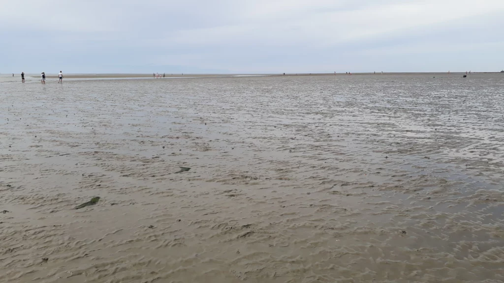
The seashore itself does not have a beach as such – it is a high fortified shore with stones. Stairs go down. It all looks pretty bleak, but this turned out to be the best Watt of the entire trip. When you walk in the water, there are so many shrimp that they tickle your legs. The number of crabs is off the charts. There are also very large ones. Despite the already cool weather (20 degrees), the Watt is still warming up, and you can splash around in 10 centimeters of depth. The fairway from the port runs nearby, so as a bonus you can see fishing ships.
To be continued – Eiderstedt Peninsula. Sankt Peter Ording.
Schleswig Holstein Sehenswürdigkeiten Karte
Küste Deutschlands. Hamburg und Niedersachsen Sehenswürdigkeiten
Lübeck Altstadt
Cuxhaven Döse und Duhnen
Cuxhaven Zentrum
Bremerhaven Sehenswürdigkeiten
Follow me


