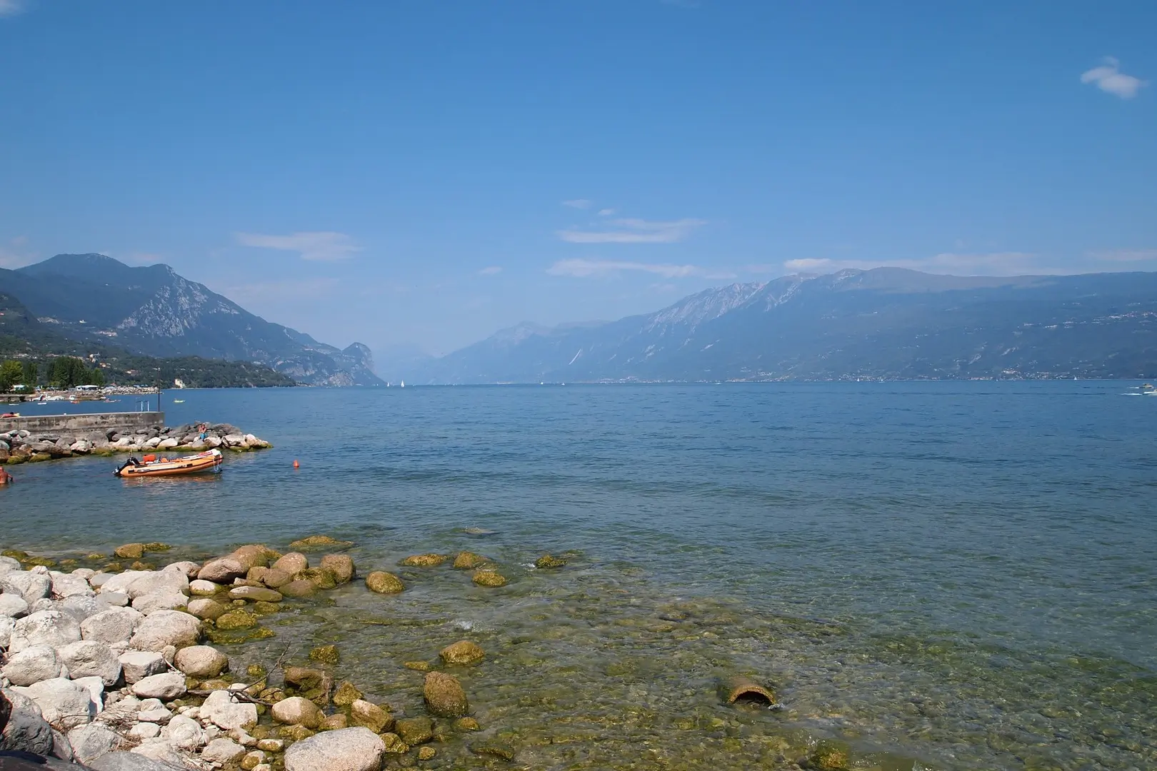
Lake Garda is very large. Its northern and southern parts are very different, and getting from one end to the other is not so easy: the roads are slow and congested. The north is more nature-recreational, the south is tourist and entertainment. This topic provides general orientation to the area: Lake Garda buses, tickets, ships, roads, beaches.
map
Eiderstedt Peninsula. Sankt Peter Ording
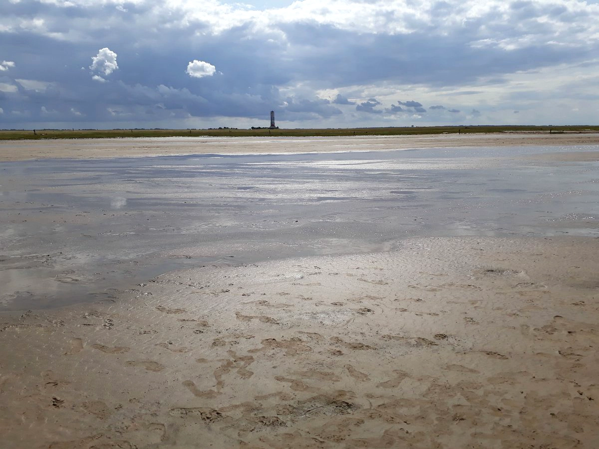
Sankt Peter Ording (SPO) is the most developed resort on the shores of the Wadden Sea north of the Elbe. Only the island of Sylt is more known than it. This determines housing prices and a high resort tax, which is also levied on day tourists.
The resort occupies the tip of the Eiderstedt peninsula. In this topic we will explore St. Peter Ording and find out where it makes sense to stay, what you can see in this part of the peninsula, where are which beaches and where to ride a bike.
Wadden Sea Schleswig-Holstein: Büsum, Husum, Friedrichstadt
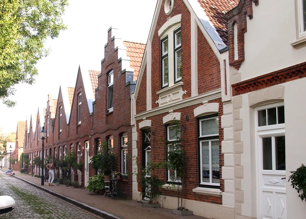
Let’s continue to explore Wadden Sea. This time the section between Büsum and Husum, the center of which is occupied by the large peninsula of Eiderstedt, crowned by the resort of St. Peter Ording (SPO).
This central part of the western coast of Schleswig-Holstein is the most developed. Higher up are the islands and the so-called Hallige – unprotected islands that do not have dikes – and go all the way to the island of Sylt and the Danish border. Below is a large protected area around Friedrichskoog.
Romantic Franconia
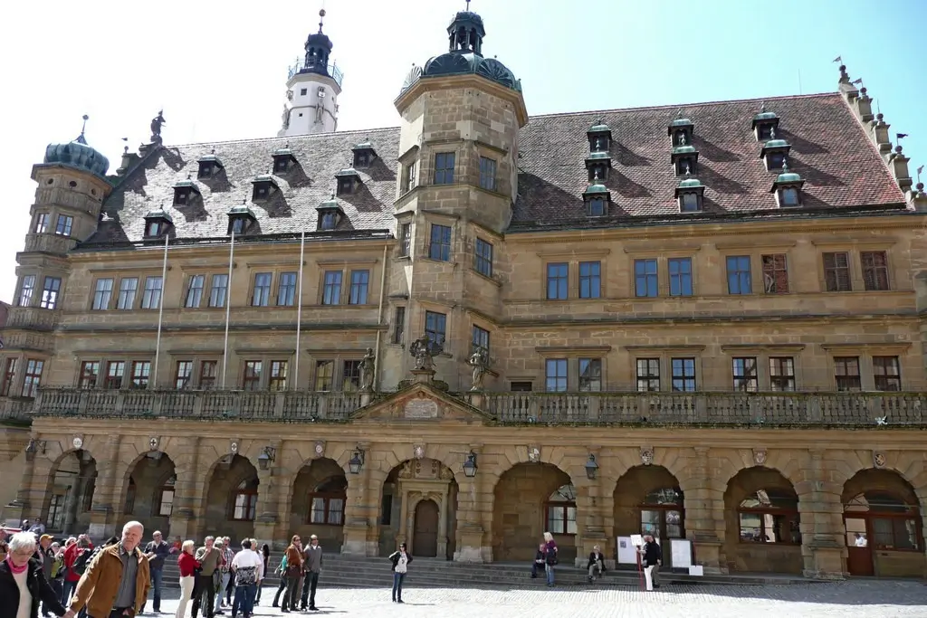
This map includes a significant part of the Northern Romantic Road route, the Romantic Franconia region, as well as the Franconian Lakes.
High Black Forest map
The High Black Forest is the southern part of the mountain range around the Feldberg mountain. This part is named high for a simple reason – here is the highest point of the Black Forest. The set includes narrow mountain roads, high, albeit thin, waterfalls and gorges.
After the Triberg waterfall, Lake Titisee and Feldberg are the second point of attraction for the largest number of tourists, which is facilitated by the only convenient federal road from east to west in the Black Forest, passing from Freiburg past Titisee, and a greater amount of snow on the mountain in winter.
South of Lake Neuchâtel map
We explored Lake Neuchâtel from the north, now let’s go to south of Lake Neuchatel map. The major cities here are Estavier and Yverdon. From the southern end of the lake, it’s a stone’s throw to Lake Geneva.
Loire Castles. Blois region attractions map
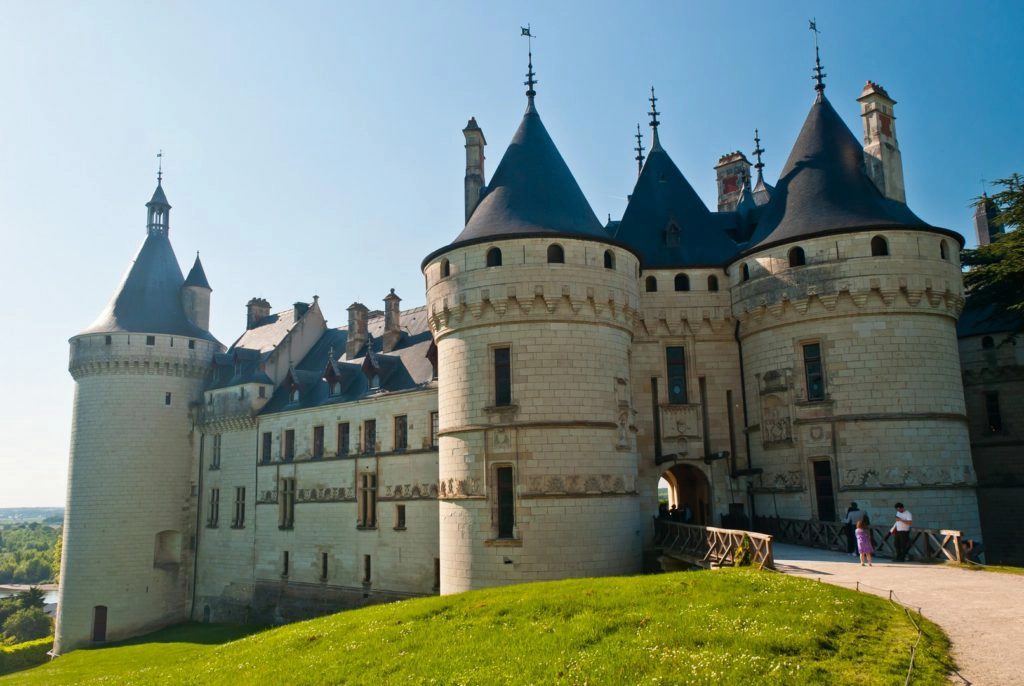
One part of Loire castles and the most interesting Blois region attractions on the map. Since the region has an excessive number of Loire castles (Cher castles, Indres castles…), you should study in advance which ones to visit. It is better to limit yourself to two castles per day, although some routes allow you to visit more. To attract visitors, some castles organize themed exhibitions. Therefore, it makes sense to choose a couple of the most famous castles to visit and add to them those whose thematic exhibitions are of interest to you.
Lake Maggiore Attractions of Italian part
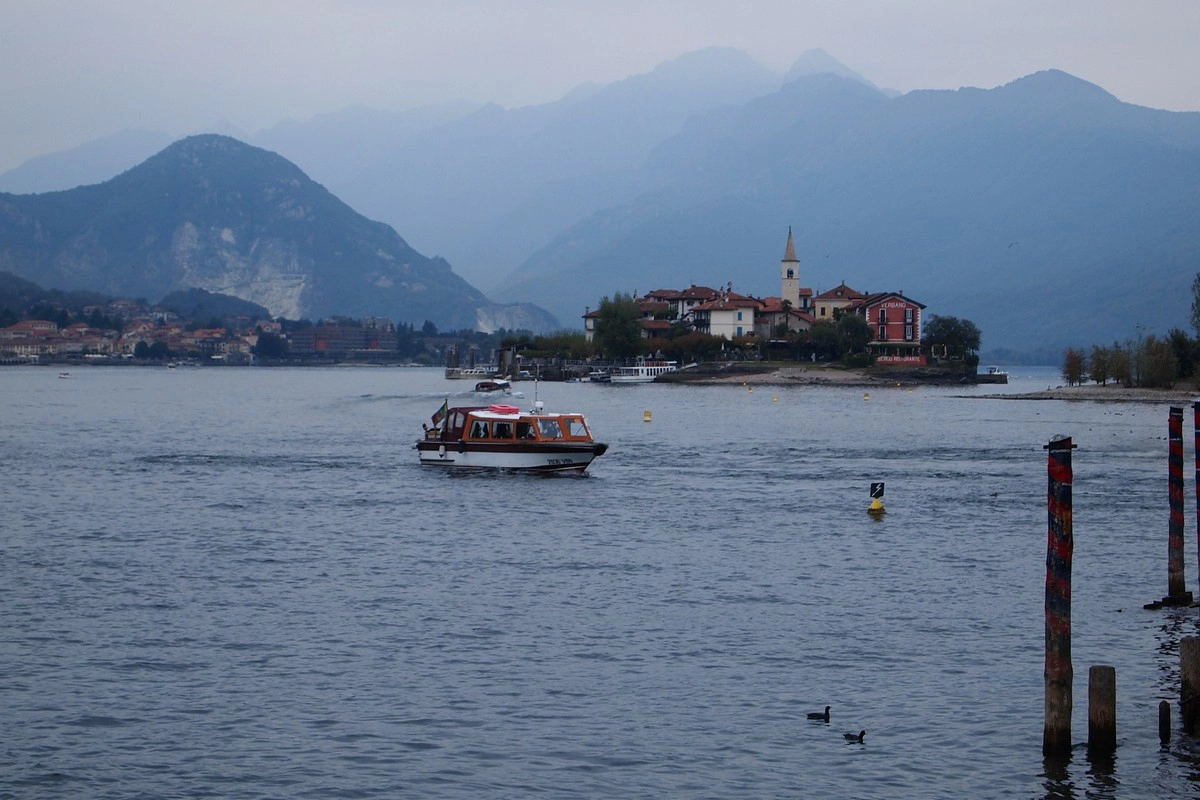
Lake Maggiore justifies its name (“big”) – it is an infinitely long lake, a trip along which either by car or by ship seems endless long. The most beautiful parts of the lake are near Stresa (the Borromean Gulf) in the Italian part and the northern end of the lake around Ascona.
Rhine valley boat tours, public transport and welcome cards
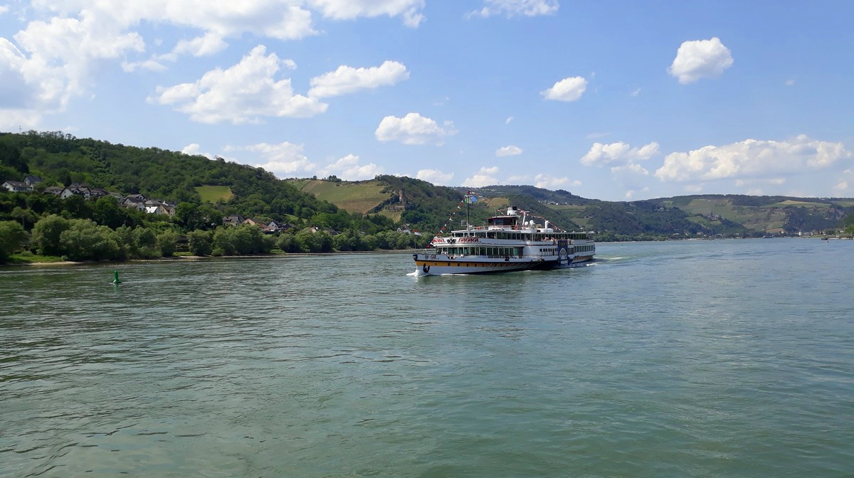
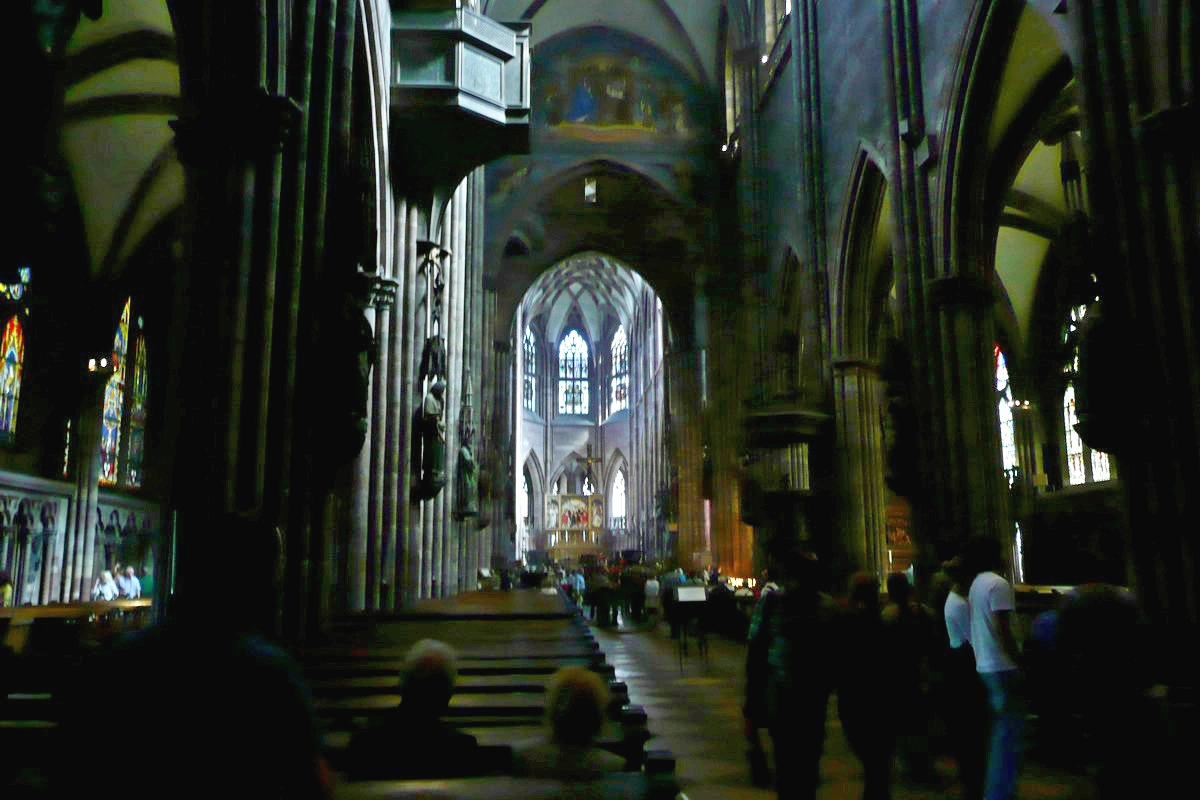
This topic is about the Moselle and Rhine Valley boat tours, welcome cards in the region and the rather complicated public transport tariff system around Frankfurt to Koblenz. The difficulty lies in the fact that the tourism region is divided into Rhineland-Palatinate and Hesse, and they have very different attitudes towards public transport.
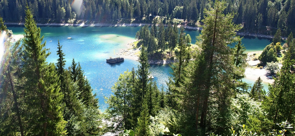
Viamala and Ruinaulta. Rhine gorges
The Rhine gorges, or rather gorges of its sources Vorderrhein and Hinterrhein (“Anterior” and “Posterior” Rhine), are a must-see program. You can see the Viamala Gorge in an hour (or a day if you’d like to hike) and the Ruinaulta Gorge in at least one day (preferably two – from above and below).
In this topic, a map of the region with attractions and a detailed description of the gorges. The region is located in the canton of Graubünden.