Last Updated on 31/01/2023
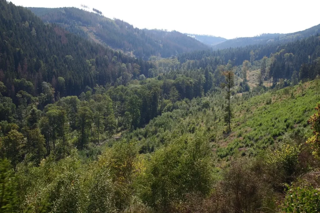
Harz is a wooded mountain massif, the highest in northern Germany. The origin of the name is connected with the Old German word meaning “wooded mountains”. Which is quite correct – the mountains are very wooded, covered mainly with firry forests. True, the forests have suffered greatly over the past five years. But foresters are hoping for self-recovery.
In this part about Brocken and the steam railway, as well as about the neighboring mountain Wurmberg.
Harz. 5. Thale, children program
Harz. 4. Quedlinburg old town
Harz. 3. Goslar – what to see
Harz. 2. Brocken, Wurmberg
Harz. 1. Wernigerode
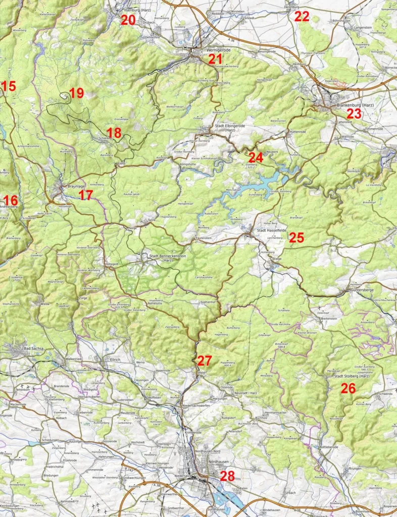
Harz map. Center and East – from Wernigerode to Tilleda
Harz. West. Map of attractions
Luneburg Heath
Attractions. Schleswig-Holstein. Map
Brocken steam train
The total length of the narrow-gauge railway Harzer Schmalspurbahnen is 140 km.
It has three lines linking Wernigerode, Brocken, Nordhausen and Quedlinburg and is served by two dozen steam trains. Of course, these trains are entertainment, not public transport – they are very slow. But as a tourist attraction they have great success (1.2 million visitors a year).
Initially, two railway lines were built (the first in 1887, the second in 1896-1899). They belonged to different companies. With the formation of the GDR, both lines were transferred to the state railways. After the reunification of Germany, the narrow-gauge railway was privatized and transferred to the Harzer Schmalspurbahnen (HSB) company, which pooled the money of municipalities and private companies.
Most of the visitors are received by the line to Brocken. It starts at Drei Annen Hohne and is only 19 km long. Sometimes you must change the trains, sometimes not. Only on the line Wernigerode – Brocken are exclusively steam trains used (diesel ones for clearing snow). On other lines “steam” trains are arranged a couple of times a day and on some routes.
From Wernigerode to Brocken 1 h 40 min. Quedlinburg – at least 2 h 50 min via Wernigerode. From Goslar – from 2 hours 15 minutes with 2-3 transfers.
To reduce travel time (but not money! the tariff for Brocken is the same) by train, you can take a bus. 257 to Drei Annen Hohne. There and in Schierke there are parking spaces. In Drei Annen Hohne there is a large parking lot for a small fee and good food. In Schierke there is less parking at the station and no food. But there is parking in the village itself by the coaster.
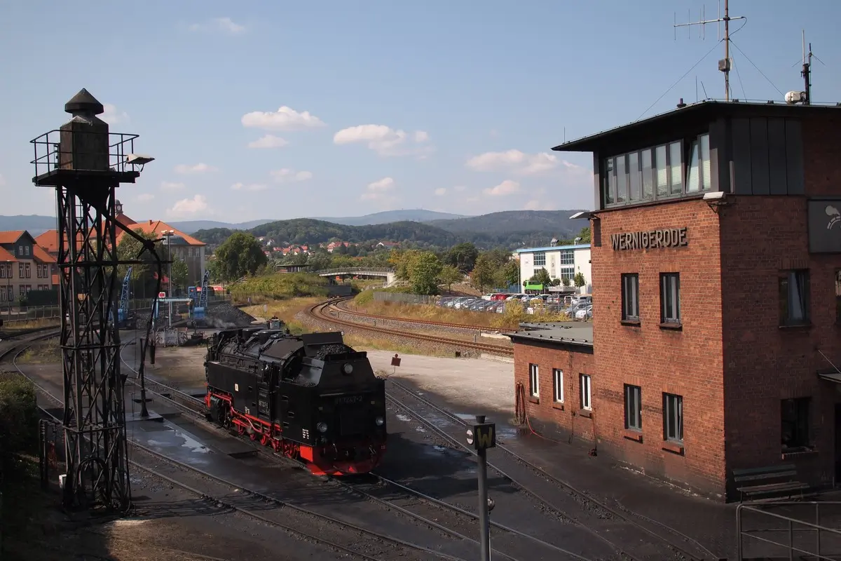
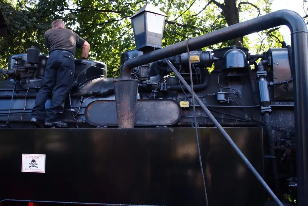
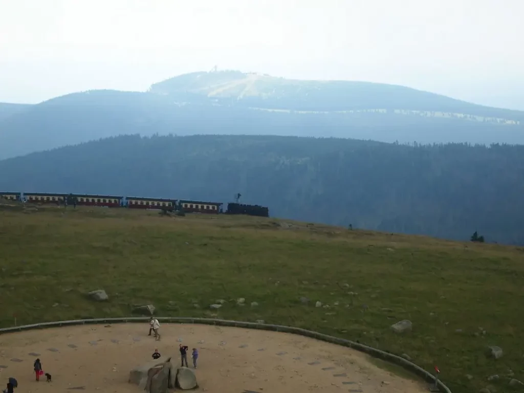
But even if you board the train at other stops, it is worth looking at the Wernigerode train station. There, from the observation deck on the platform, you can see how a steam locomotive is refueled and take a picture of Brocken (photo at the top of the page).
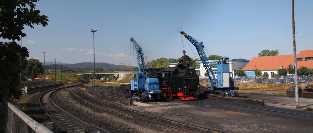
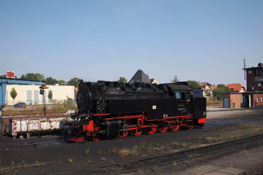
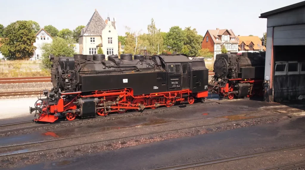
And on the contrary, if you want to save a lot of money and at the same time ride a steam train, then go from Wernigerode to Schierke, and then on foot. Tickets from Wernigerode to Schierke are very cheap.
From Wernigerode to Brocken
Let’s start from Wernigerode.
More about Wernigerode
The castle in Wernigerode must be photographed immediately after departure. Then he is not visible. I didn’t have time.
The colorful city of Harz is colorful even in the backyards.
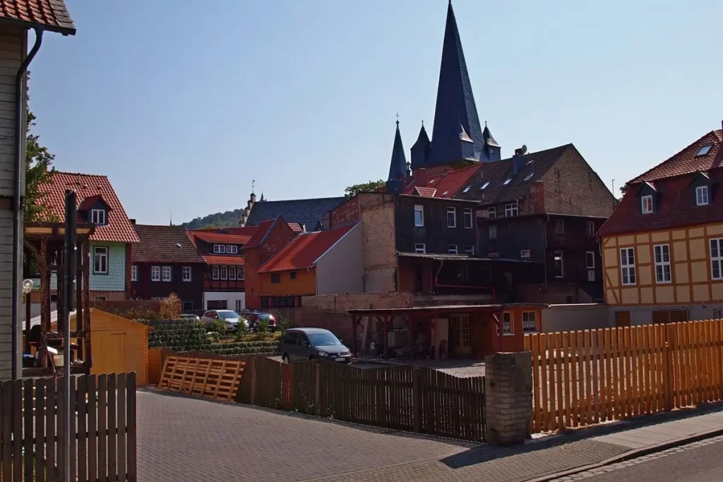
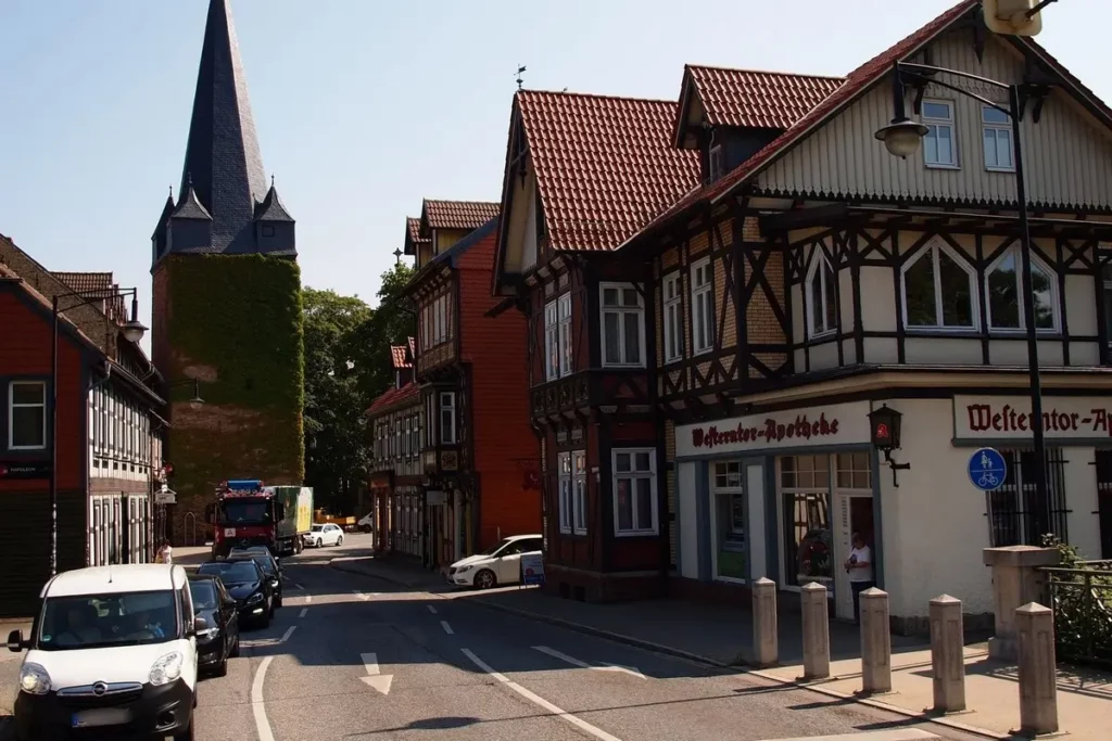
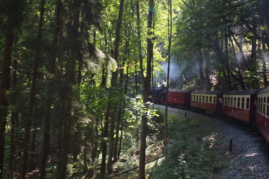
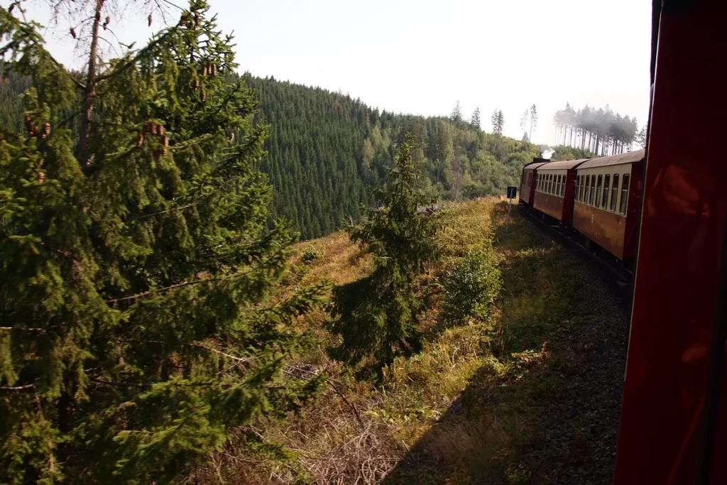
The exchange of passengers takes place at Drei Ahnen Hohne. There, trains are refueled with water. And tourists can refuel with local food like pea soup. (This is East Germany’s gastronomic specialty.)
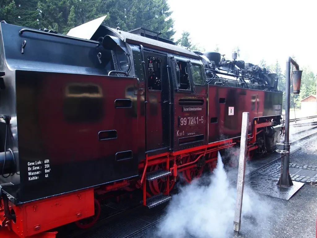
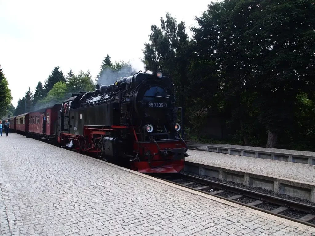
The stop at Schierke is shorter. There is almost no one at the station. The local coaster I cannot recommend: the quality is ok, but it is very short for the price.
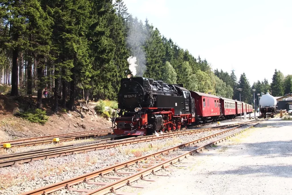
Brocken
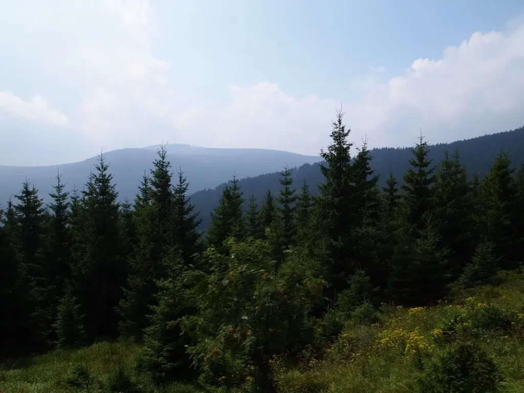
Brocken is the highest peak in Harz and in all of Northern Germany, at 1141 m. Despite the fact that this mountain is not so high, the climate on it corresponds to much higher alpine and even Icelandic peaks. For most of the year, it hides in fog or clouds, and already in September, snow falls on it until May.
Light penetrating through fogs and clouds creates special optical effects called the Brocken spectrum, which the popular consciousness associated with the devil and witches. In Harz, there are plenty of legends about good and evil dwarfs, counts and princesses, terrible whirlpools and treasures. But now, in order to believe even a little in these legends, you need to hike along the forest paths of the national park, where the lynx and wild cat are found, and get away from civilization and the tourism industry.
However, the industry has also reached hiking routes. Routes on which you can get a “tourist’s badge” are very popular: at the tourist office, hikers receive a special booklet and at each point of the route they put stamps in special boxes (in details).
The ascent from Schierke to Brocken takes about 2 hours (6-7 km), from Wernigerode – about 4-5 hours (14-18 km), there is also a “Goethe trail” from Torfhaus (you can get there by bus from Bad Harzburg).
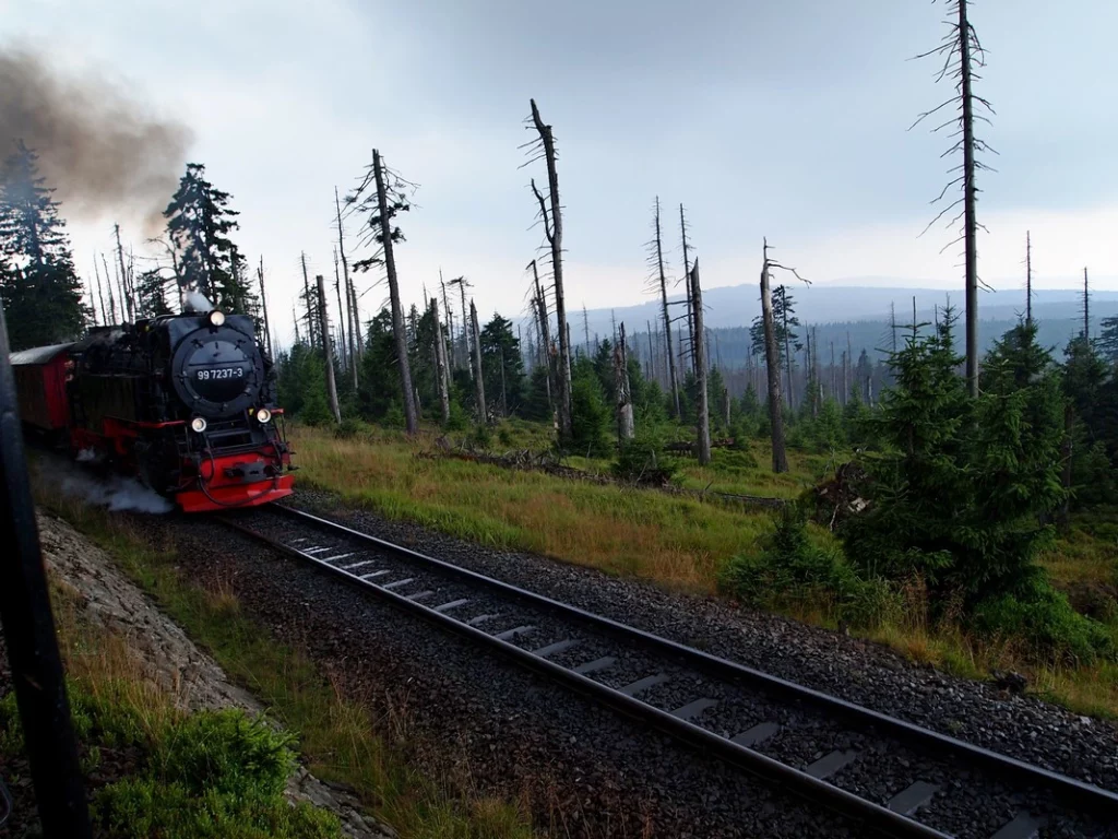
A little history
The name Brocken was first recorded in the Middle Ages and had different variations. The origin of the name is supposedly associated with the North German word meaning swamp. In the 19th century a hotel was built on Brocken, and at the end of the century the first German alpine botanical garden was laid out. In 1899, a narrow-gauge railway was built.
Since 1961 (the construction of the Berlin Wall), Brocken was closed to tourists, and a Soviet military base was established at the top. The devices built at the top were used to eavesdrop and intercept information. After the fall of the Berlin Wall on December 3, 1989, demonstrators came to Brocken and the mountain was again open to the public. Several million euros have been spent to restore the natural appearance of the summit. Several buildings have been preserved: a television tower serves German television, there is also equipment for the meteorological service, a hotel and a Brocken museum.
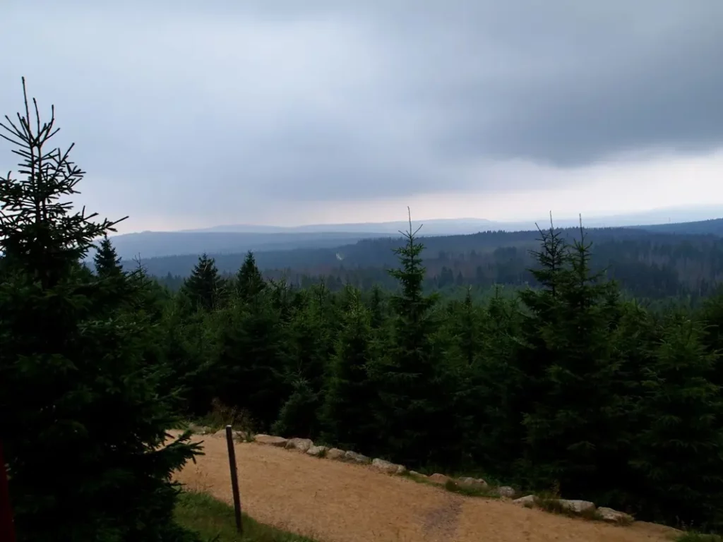
However, the climate on Brocken is such that many do not manage to properly study the summit. So, in mid-August it was very cold here and it was regularly watered by heavy rain. Therefore, we did not even realize the presence of a botanical garden (otherwise I would get wet in it), meanwhile, it still flourishes there (go from the last car of the train).
But in the pouring rain, the legs somehow themselves run towards the buildings.
At the top of the hotel there is a glazed observation deck (how nice to look around in bad weather!).
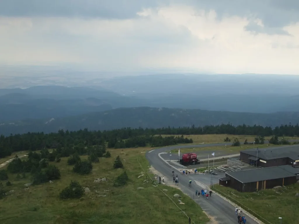
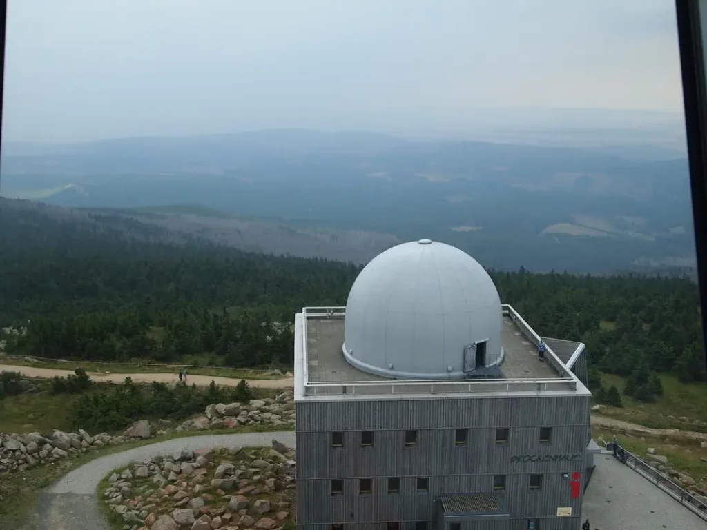
Brockenhaus is a small museum that tells about Brocken, its nature and history. There is an open observation deck upstairs, but I liked the views from the hotel a little more – the hotel is located higher. Anyone can try themselves in the role of a witch in the museum – sit on a broom and see themselves on the screen. For additional money, you can get a DVD with your “flight”.
From Brocken you can see the castle of Wernigerode and the city itself.
A large mountain of comparable size is called Wurmberg. You can climb it by cable car from Braunlage, there is a springboard, clearly visible from Brocken and on the way up.
Wurmberg
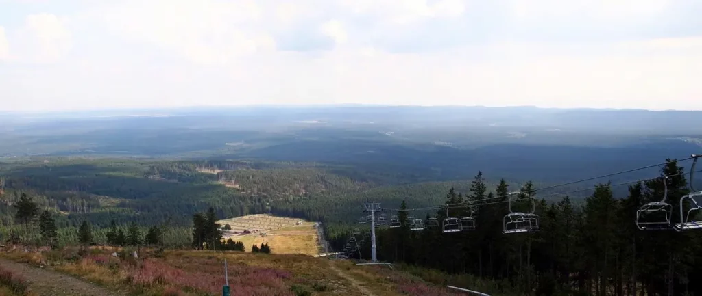
We move to Braunlage. Small modern gondolas take you up to Mount Wurmberg. There is an intermediate station, but the peak is more interesting. Once there was a springboard, now it is being transformed into an observation deck. The observation deck will be just 1000 meters, the mountain itself – 970 m (Brocken – 1140 m). There are also two restaurants, a large, nice playground on the slope, a variety of biker trails and a trotter trail.
View from the restaurant terrace to the south-east. There is a ski lift in winter.
And here is Brocken, a steam locomotive is coming.
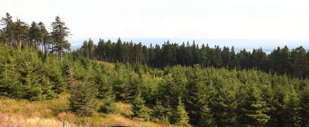
I can clearly see the question in your head: What is it with the forest?! The answer below.
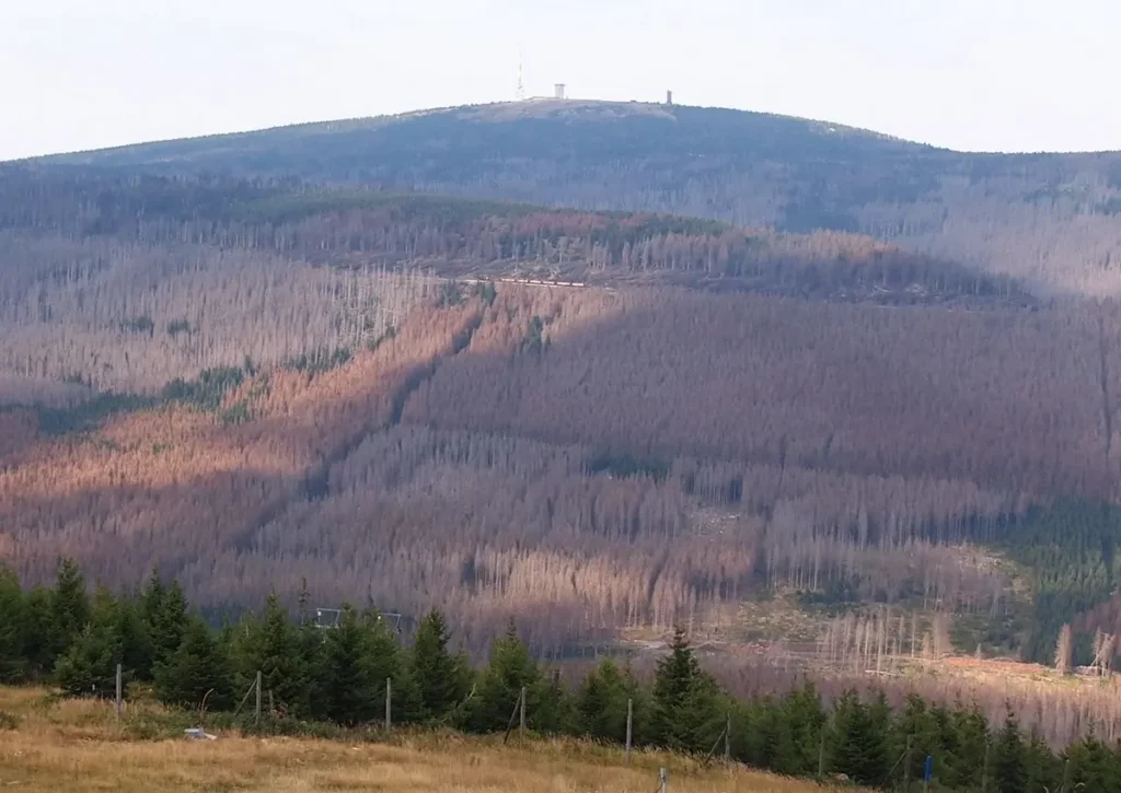
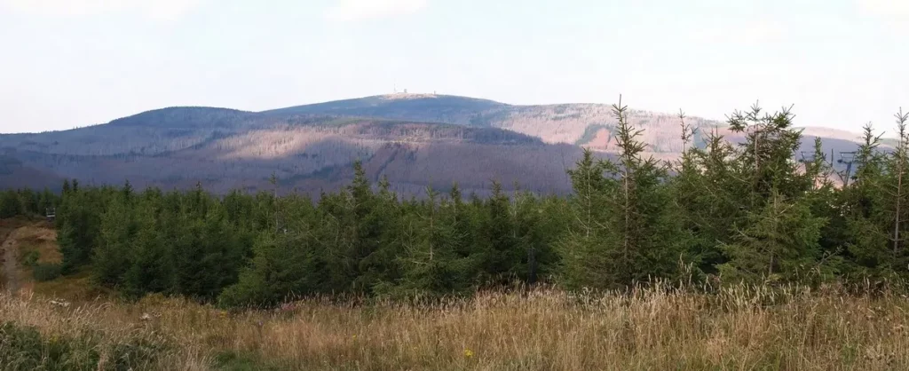
To the south, everything is pretty wooded.
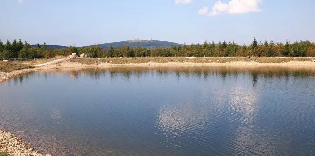
And once again Brocken with a lake at the playground.
Then we went down. The beginning of the path is completely unclear. There is a simple map, which is issued at the ticket office of the cable car, but there are no signs above. But since there were no other roads, we chose the only one that was in approximately the right direction and was neither paved nor intended for mountain bikes.
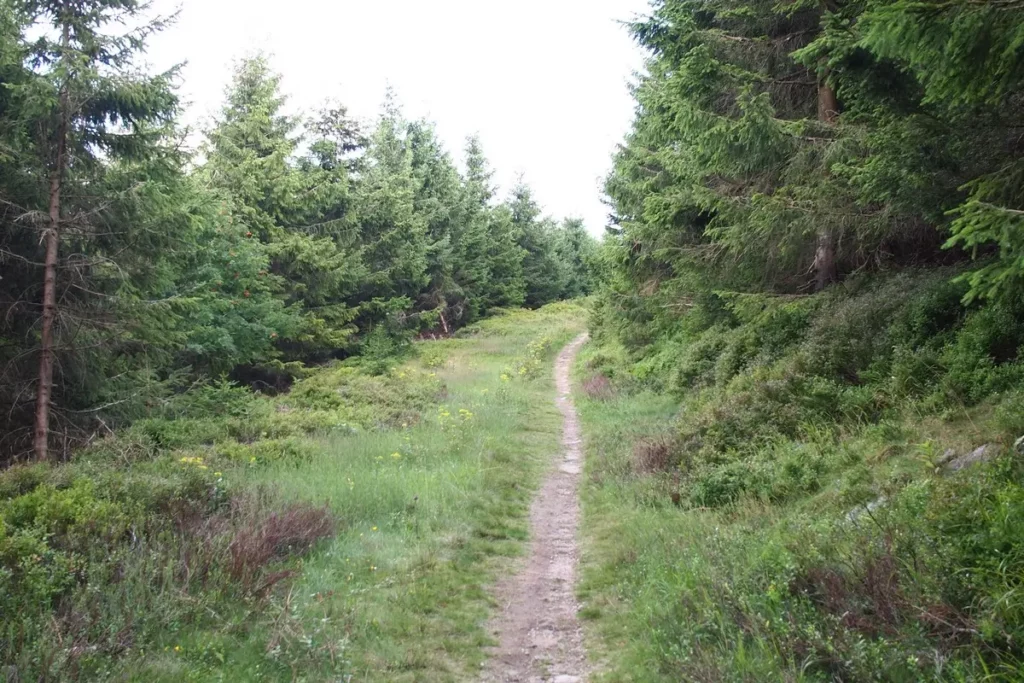
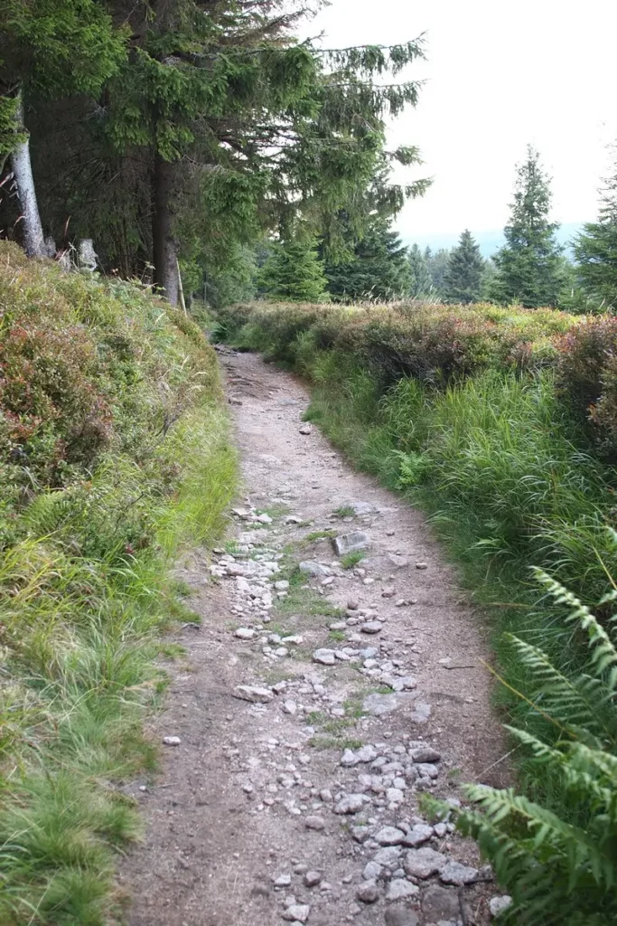
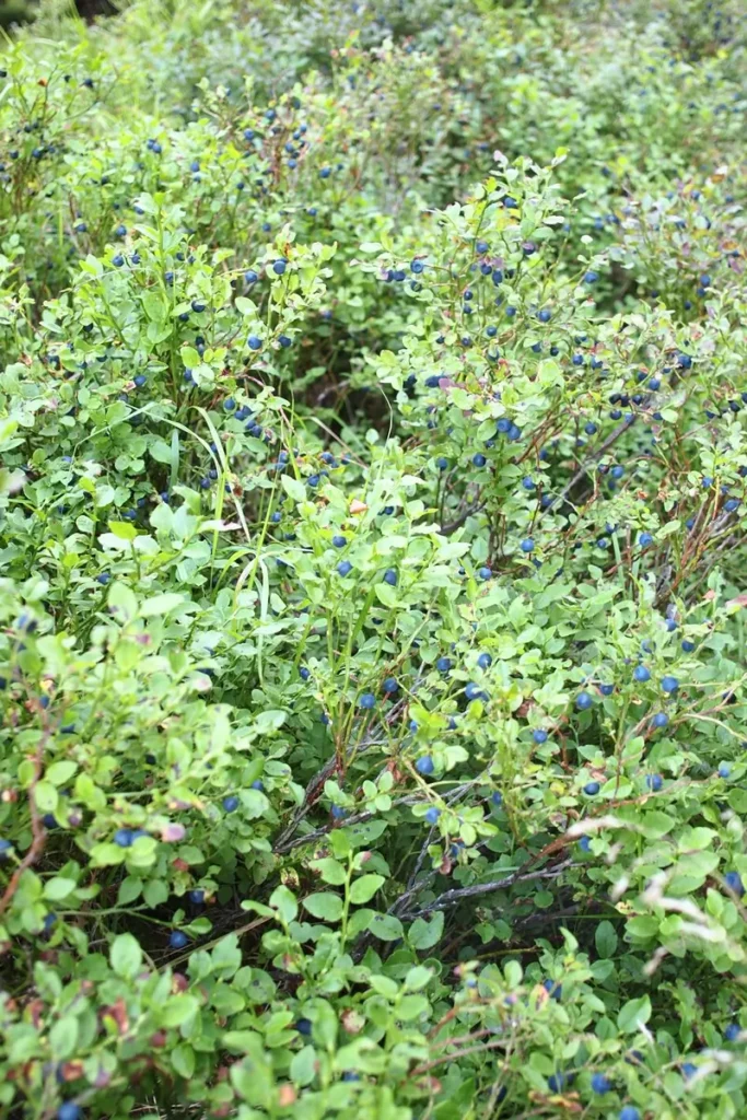
The descent begins next to the trottibike track, to the left of it. Then we met an intersection, at which we turned onto Ulmerweg. I suspect that the road is named not in honor of Ulm, but in honor of the elms (Ulme). But it should be called Blueberry. These are all on the left and right – blueberry bushes. But I don’t see elms, only firs.
Brocken again – a steam locomotive that finally decided to smoke.
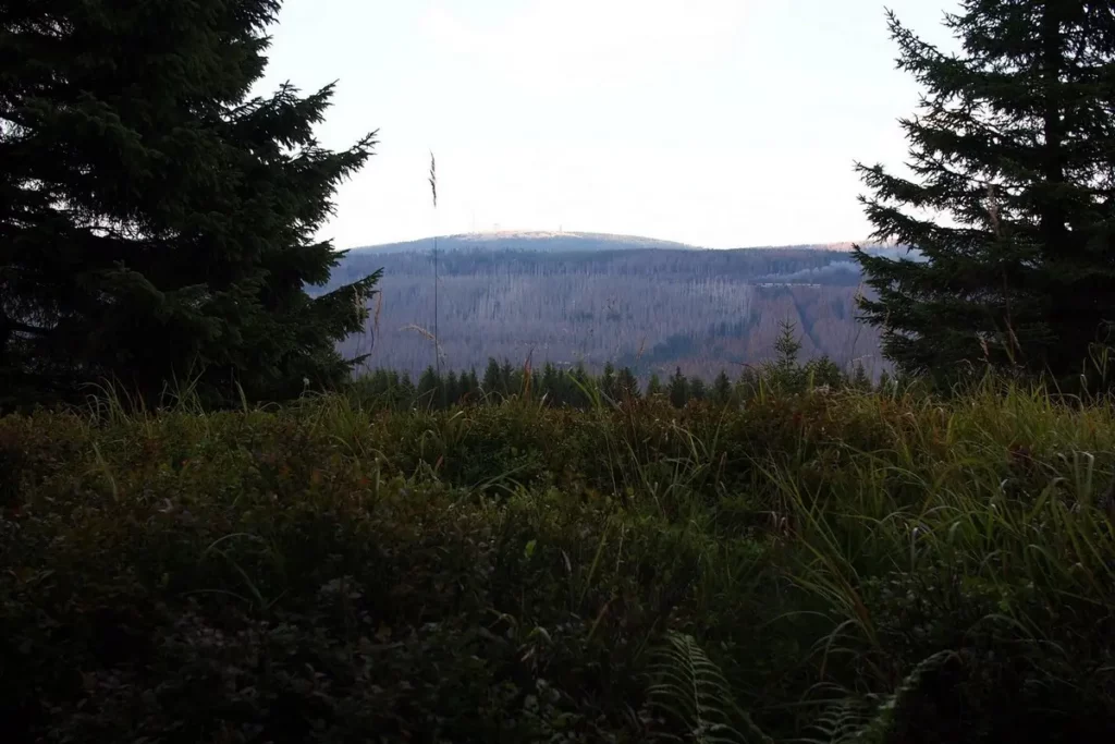
Further and lower we go to a large felling.
The total length of the trail from Wurmberg along the Ulmerweg to cable car station is 7 km. This is an excellent road, with a slight descent. But if you do not want to go so long, it is better to turn off before the felling towards the station. There is a sign.
What happened to the forests of Harz
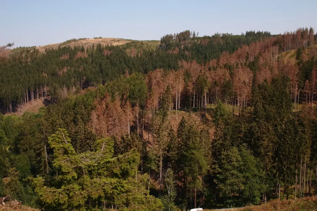
Here we come to the topic of bark beetles and felling. Bark beetles and climate change are to blame in this situation.
While I was at home writing reports, I found a flyer, one of those that I grabbed without reading. There, on behalf of the national park, it is explained in detail what they are going to do with all this. Answer is “nothing”.
The explanation is as follows. The forest was industrial, and now it has been transferred to the protected status. In the industrial forest, clearings are carried out, as well as in places where bad trees threaten tourists or the railroad.
On the territory of the park, dead trees were left purposefully so that nature would heal itself. The presence of dead trees significantly increases the diversity of the forest and its quality; young spruces grow better on dead trees.
In short, natural selection is at work. Sir Attenborough said the same thing in one of the BBC Plant Life episodes (highly recommended!), so this is not a new idea at all.
Hope it really works. The photos in the flyer show the places of the park that have changed over the 10 years of this approach, but so far everything east and southeast of Brocken, especially along the B4 Braunlage – Bad Harzburg, looks just painful.
Wurmberg was taken out of the protected zone, and accordingly, they cut down here. The area is quickly covered with grass and bushes.
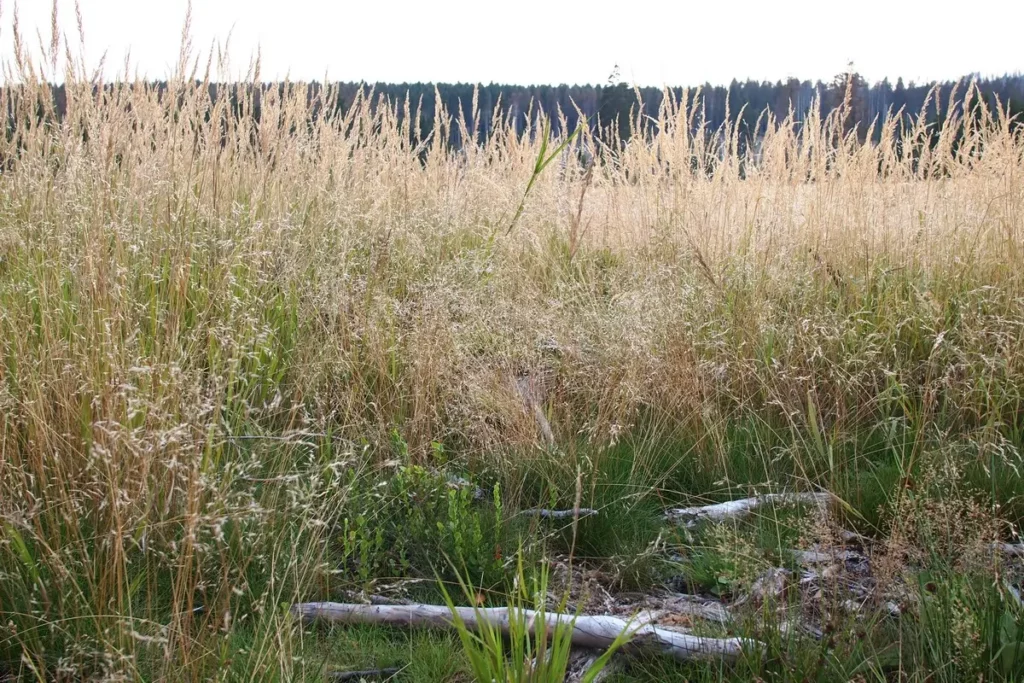
Young fir trees are already on the way.
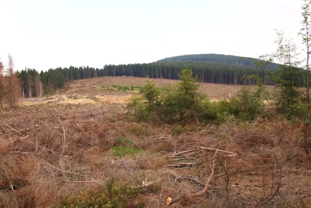
We passed the felling and walk along the river. It’s still down in the ravine.
At the Bear Bridge (Bär Brücke), we pass to the other side and go next to the river. There are no blueberries here, but there are nice rifts, which for some reason are called waterfalls.
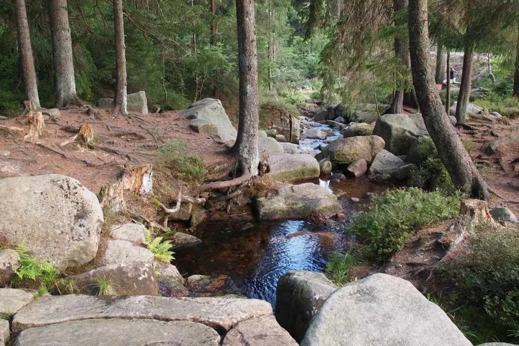
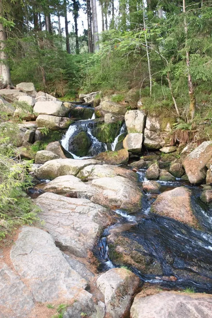
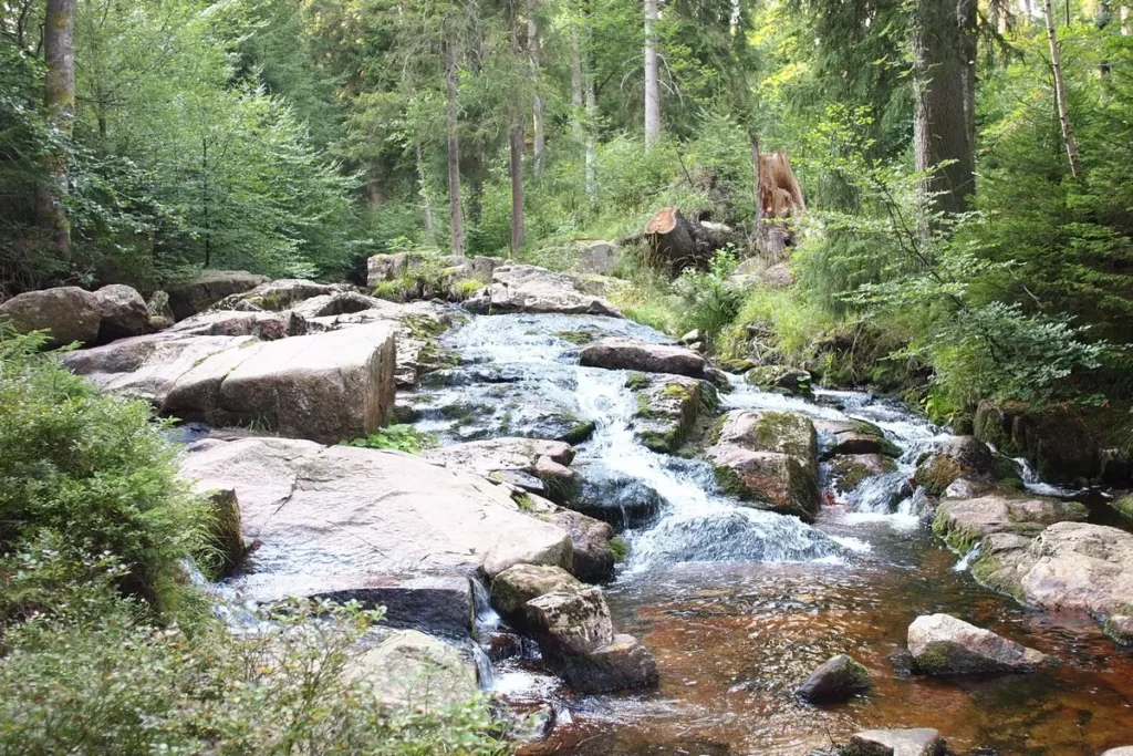
Great trail, except that there are not enough signs at the beginning and at the end, so we go out where we needed to rather intuitively. But for children it was too long and exhausting.
Other posts about Harz – #Harz.
Do you enjoy the site without cookies? This means that I work for you at my own expense.
Perhaps you would like to support my work here.
Or change your cookie settings here. I don’t use personalized ads

