Last Updated on 18/04/2024
The Danube Valley from Sigmaringen to Tuttlingen is not so widely known and is not as popular as the nearby Black Forest. But these stunning views are worth spending a day biking, hiking, or even just taking the train along. In this topic we will look at the Danube source and the Danube Valley (with maps) and get to Sigmaringen.
High Black Forest map
Schiltach in the Black Forest (Schwarzwald)
Attractions of Black Forest (Schwarzwald). 1. From Altensteig to Gengenbach
Black Forest what to see. 2. From Gengenbach to Wildkirch
Swabian Alb map
Lake Constance map of attractions
Lake Constance. Meersburg attractions
Lake Constance. Mainau Island of flowers
Lake Constance (Bodensee). 1. Lake Überlingen
Tourist and guest cards of Lake Constance
Public transport around Lake Constance
Danube source – Donaueschingen
The Danube originates near the third major river of Baden-Württemberg – the Neckar. But they flow in different directions: the Neckar then flows into the Rhine in Mannheim.
This area is swampy, and rivulets and creeks are visible everywhere. The Neckar begins from a swamp near Schwenningen, and the Danube begins from the confluence of two rivers – Brigach and Breg. The region is well suited as a base for active travelers: from here you can travel by car or train to the Black Forest, Lake Constance and the Swabian Alb.
Two names may mislead you: Donauquelle and Donauursprung.
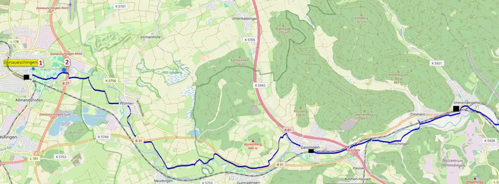
Donauursprung (2) – the place where the Brigach and Breg rivers merge, the official beginning of the Danube.
Donauquelle (1) is one of the springs feeding the Danube, which was already considered the source of the Danube in the 15th century (probably already in Roman times). There are a couple dozen more such sources in the region, but this one has historically been designated the main one.
As a city, Donaueschingen is not interesting because – which is quite atypical – it burned down not in the Middle Ages or during a war, but in 1908. Therefore, you can immediately go to see the source of the Danube, which is located between the church and the palace of the local princes Fürstenberg. It’s a 10 minute walk from the station.
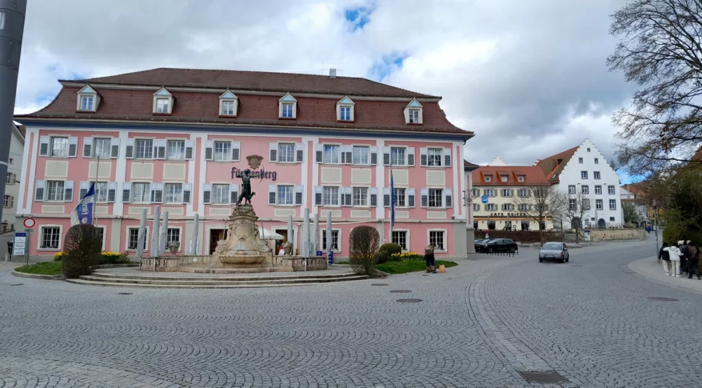
The princes received the region along with the right to brew beer at the end of the 13th century. Beer is poured in the pink building, and the brewery itself is also nearby, on the left.
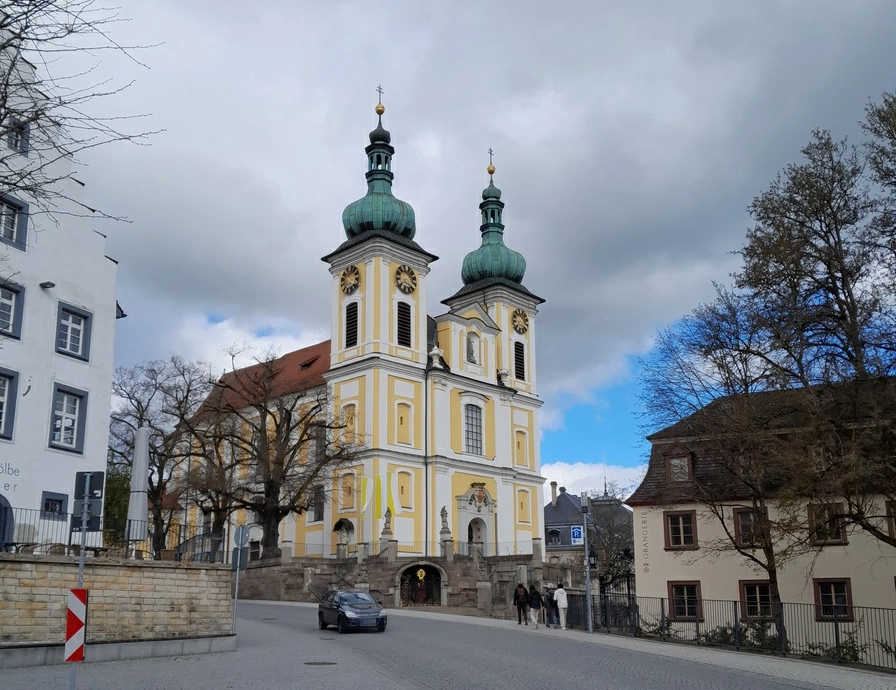
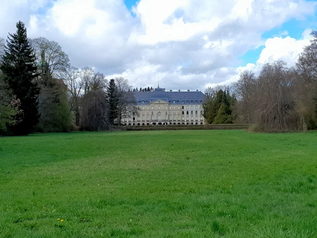
The principality ended at the beginning of the 19th century, but the princes retained their estates, live in them and are rarely allowed inside. You can see the palace with Belle Epoque interiors about once a month with a guided tour. There are also rare excursions around the park, but it is usually closed to the public. From the outside, the palace gives a somewhat shabby impression, as if no one had worked on it for a long time.
Danube source (Donauquelle).
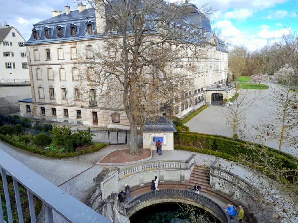

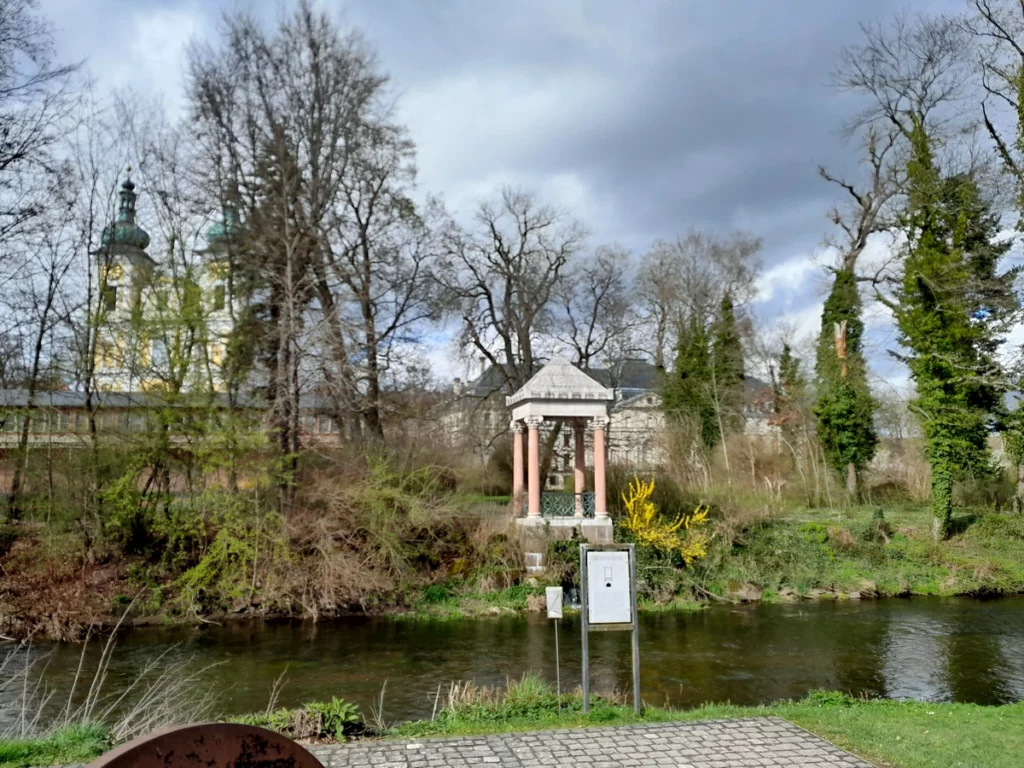
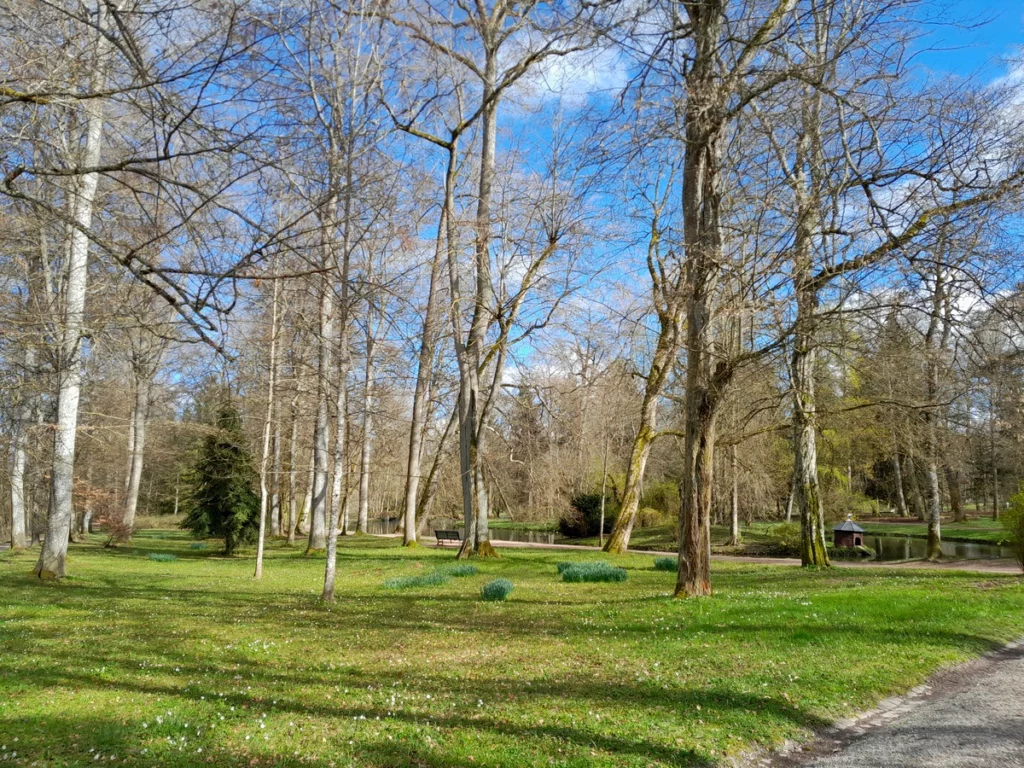
Then we return to the other side of the river (this is still Brisach, not the Danube) and walk through the picturesque park with peacocks on the island.
The gazebo marks the place where water flows from the Danube source. The princes are very concerned about privacy: the view of the palace is carefully planted with tall bushes. The palace can only be photographed from afar.
Before the rivers merge into the Danube, from the end of the park you need to walk the same distance past parking lots and stadiums.
Danube Valley from Donaueschingen to Tuttlingen
The Danube Valley is one of the rare routes where you will be accompanied by beautiful views almost the entire time. The source of the Danube is winding rivers, green soft hills and picturesque villages. Gradually the slopes become higher and steeper, but the idyllic picture still remains.
Don’t forget that there are many other attractions around:
Swabian Alb map
High Black Forest map
Lake Constance map of attractions
Attractions of Black Forest (Schwarzwald). 1. From Altensteig to Gengenbach
Black Forest what to see. 2. From Gengenbach to Wildkirch
After Immendingen, there is a curious geographical phenomenon – the disappearance of the Danube (Donauversinkung).
Part of the water of the Danube goes into karst caves and comes out again near Radolfzell on Lake Constance, that is, it merges into the Rhine. Sometimes the Danube disappears completely. The number of days of disappearance is different each time: it can be a quarter of a year, or it can be two-thirds of a year. As the calcium is washed away and the caves become larger, someday, perhaps, this part of the Danube will have to be said goodbye completely: the underground river, called the Black Danube, will absorb all the water. Or maybe not. In any case, there are already water diversions through power plants that bypass the karst holes along the Danube path.
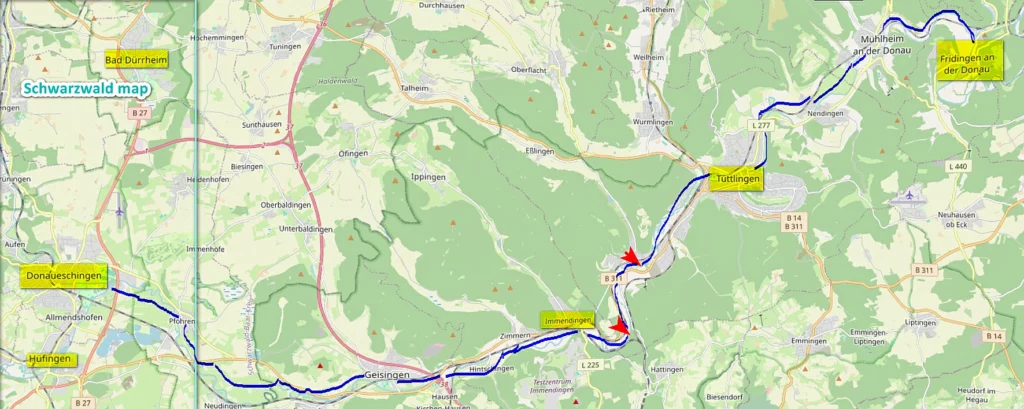
In the middle of the journey – around Tuttlingen – the valley widens. It is this part of the cycling route that you can skip.
Tuttlingen is a big city. The city center is nice, but has no special tourist significance. But the good TuWass thermal pool is significant. The pool is filled from a thermal source with a temperature of 55 degrees, so there is no common pools problem with hot water during an energy crisis. Here they do not promise 31 degrees, while having barely 29.
The city also has a steam locomotive museum, but it is open very rarely, which speaks volumes about its size.
Follow me
Danube Valley from Fridingen to Sigmaringen
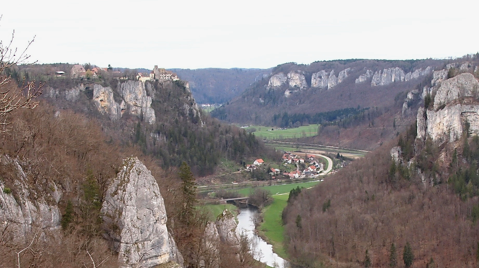
The wide part of the Danube valley ends after Mühlheim. At Fridingen the river has to squeeze through a narrow neck. From here begins the most picturesque part of the Danube Gorge – with rocks and observation platforms. Rock climbers can join cyclists and hikers.
The Donaueschingen – Ulm train runs through the entire valley. It stops in the most strategically important places: Fridingen, Beuron, Hausen. Any stop can be selected for ascent to viewpoints or for circular routes.
You can also go up by car, but parking is not available everywhere.
The easiest way to get above by bus is bus 315 to Irndorf. It runs there regularly from Fridingen station. The bus picks people up towards Irndorf not from the official bus stop, but from the bushes opposite, ask the driver where he is going. The road through Bärenthal itself is an adventure as it goes high above the valley. Sometimes the bus takes a different route than Bärenthal, and then you can get off at the parking lot, from which you can walk to the Knopfmacherfelsen viewpoint.
If you don’t see the map, please enable advertising and cookies.
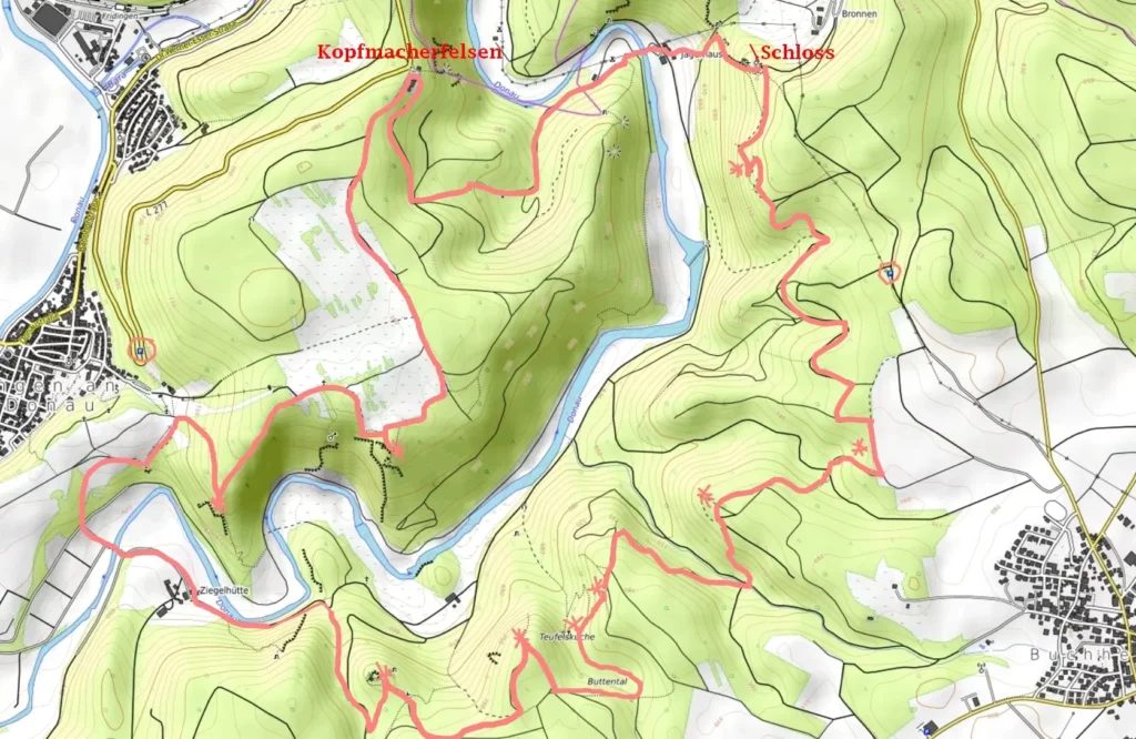
Near Fridingen the main viewpoint is Knopfmacherfelsen (3). Parking on the road. For those who like long walks, there is a complete route with numerous viewpoints. The Kolbinger Höhle cave is also nearby.
The village of Irndorf is the center of the Danube Gorge and the only village close to the cliffs and accessible by bus. There are two main viewing platforms: Eichfelsen and Rauher Stein.
Maps on the routes rarely appear, and signs even less often. But at least these two points are well marked.
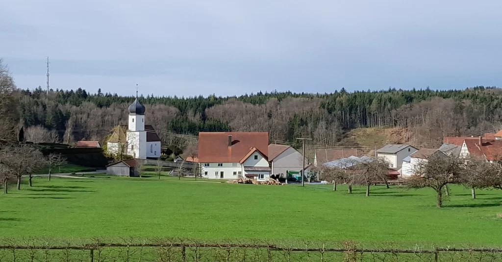
It seems that Irndorf does not communicate in any way with the village of Beuron located below, in the Danube Gorge. On their websites they only advertise circular routes around their loved ones. However, there are plenty of roads and trails between the two villages, you can even go with a stroller (blue route, mostly asphalt), although from point D down the road is a forest gravel road for the forest services, so either a stroller with large wheels will pass, or the child must be taken out. A similar descent is the crimson route. The pink route is mostly pathways, with quite steep descents.
Map (if you don’t see it, please enable ads and cookies):

Disabled people will not be able to pass to viewpoints (they are on uneven rocks).
A stroller with small wheels – the child must be taken out when approaching observation points and on the way down through the forest.

Passes almost everywhere except the observation decks themselves
Length – about 7 km (blue route completely)
Plesure – 5*
Information – 2*
Age – any
Eichfelsen viewpoint (5 on the large map, letter A on the detailed one).
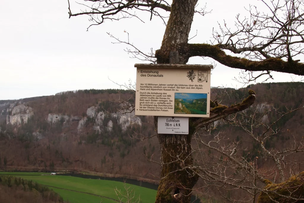
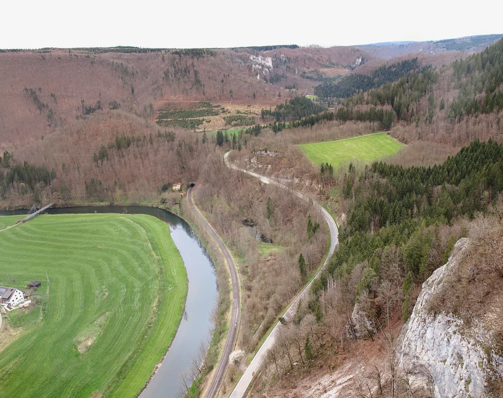
View downstream. The next village is visible. Around the corner is the Hausen train stop.

On the distant rocks is Werenwag Castle. It is owned by the same princes of Fürstenberg. No visit. Nice view of this castle from the parking lot below.

On the opposite slope is Castle Wildenstein, now a youth hostel.

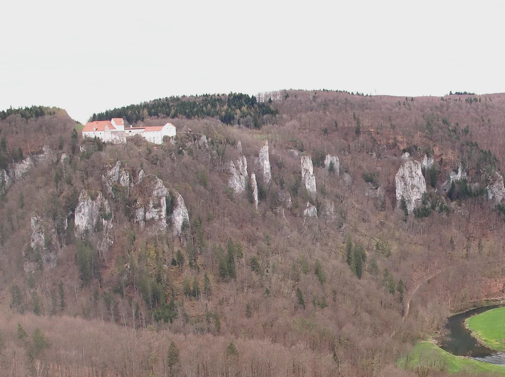
Upstream. Beuron is hiding behind the ridge.
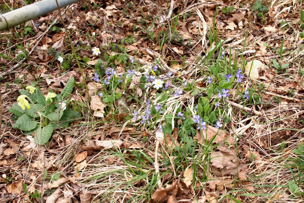
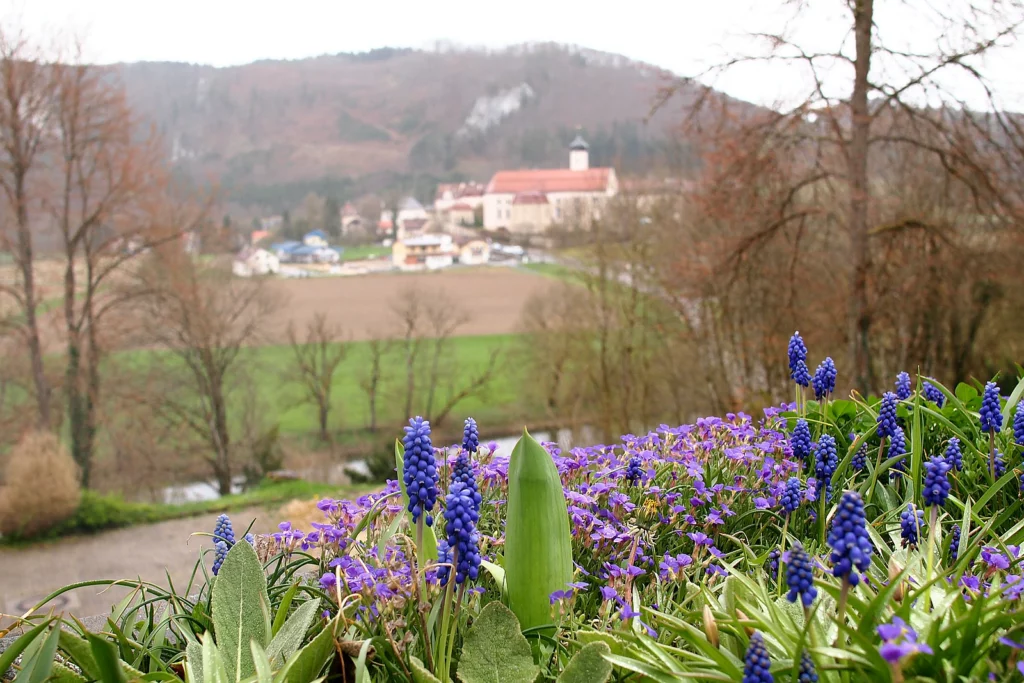
Near Eichfelsen there is a small rock garden (Felsengarten, B on the map). There you need to go along the path along the cliff. At the beginning of April, of course, almost nothing blooms – the state of flowering lags behind the valleys of Baden-Württemberg by three to four weeks.
You can continue along the cliff to the Rauher Stein viewpoint, or go down the path (pink route) or along the road (raspberry route). With the stroller you need to return back to the asphalt and go around the field in a wide arc.
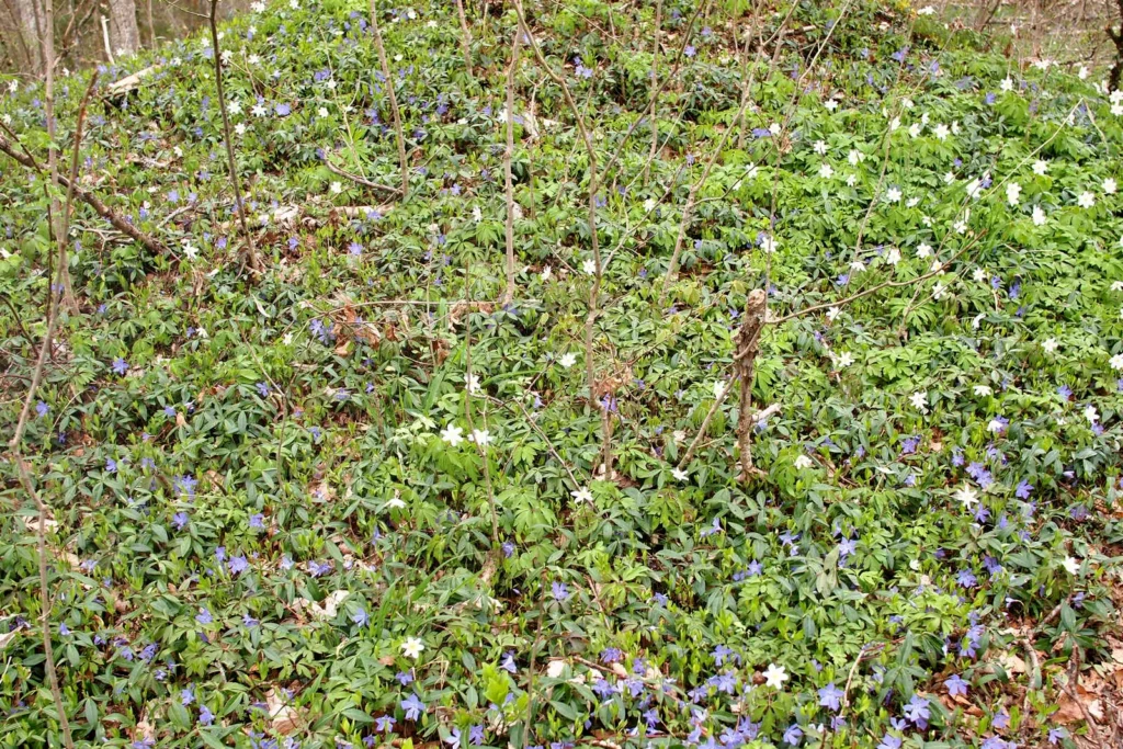
Yellow – primroses, purple – liverworts, white – anemones.
The viewpoint Rauher Stein (4, C) is located behind the village sports fields. Along the way there will be a small educational garden, with signs showing where things grow.
In the forest there is a carpet of April flowers.

Upstream, Wildenstein Castle again.
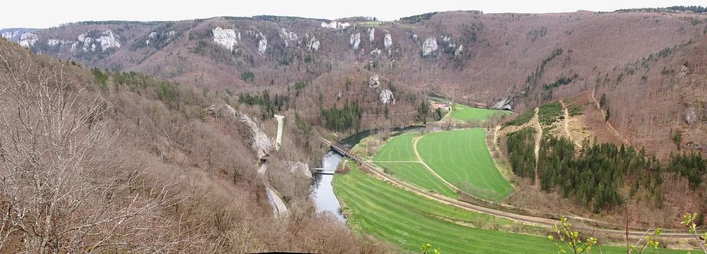
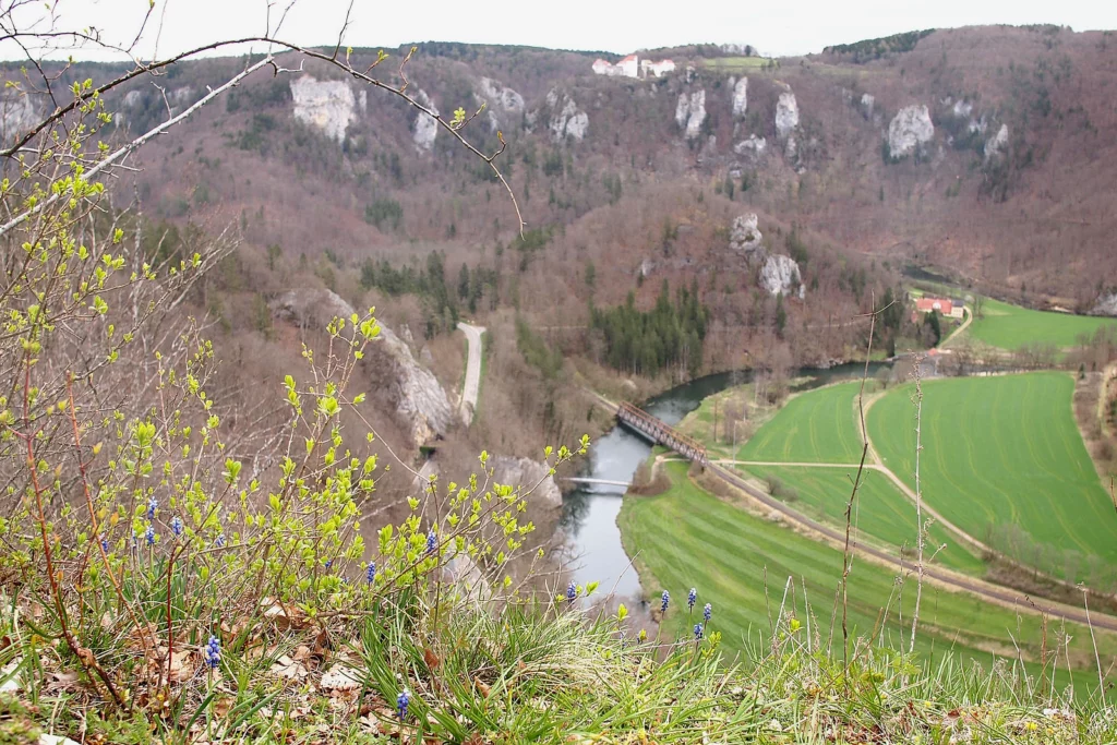
Upstream. Below is the active Benedictine monastery of Beuron. You will only get a full view of the monastery from the Spaltfelsen observation deck, which is located below Rauher Stein. From here we see only the roofs, the rest is covered behind the ridge.
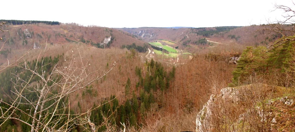
We descend to Beuron.
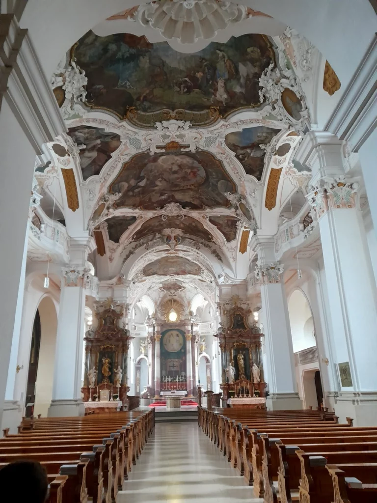
The monastery was founded in the 11th century as an Augustinian one, and in the 19th century it was refounded as a Benedictine one. The building dates back to the 19th century, the church is Baroque. The main value of the monastery is the largest monastic library. It was famous for its art school and Gregorian chant, but the monastery’s best days are long behind it. Now there are only 32 monks in the monastery.
Beuron in 2024 makes a dying impression: hotels and cafes are closed/for sale, houses are for sale. Why this is so is not very clear – there are quite a lot of people (mostly cyclists) even in the terrible weather during the half-season in April.
At Beuron station there is a nice small nature museum, Haus der Natur (E). The management of the Upper Danube Natural Park is located here.
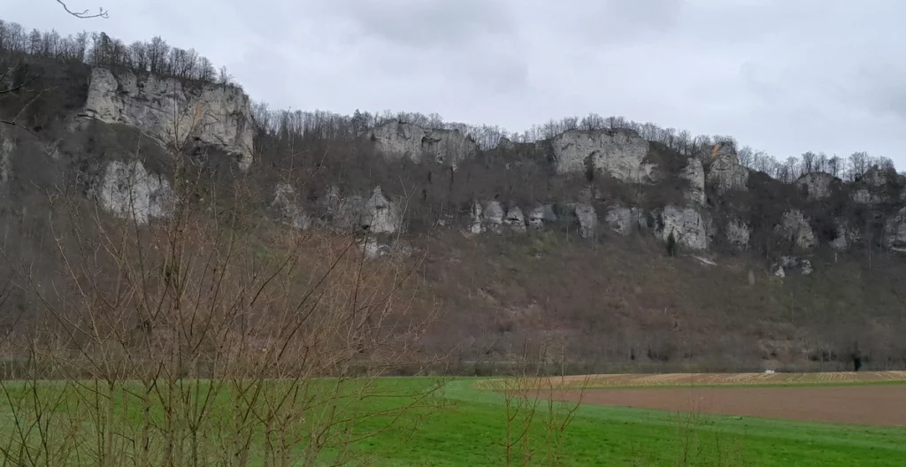
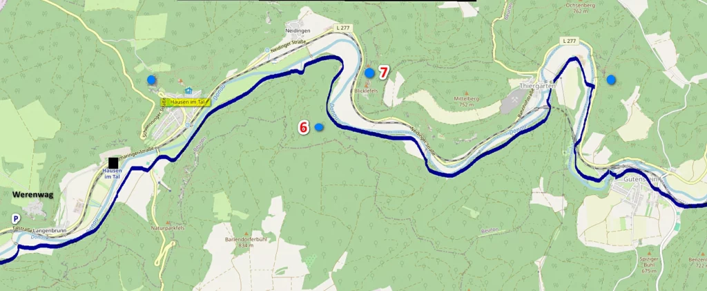
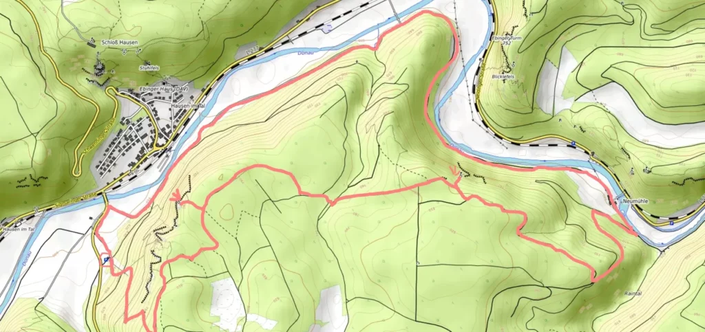
Hausen. In the next section of the Danube Gorge there are two major routes: to the Schaufelsen (7) and Lenzenfelsen (6) rocks.
Lenzenfelsen
Schaufelsen


Sigmaringen
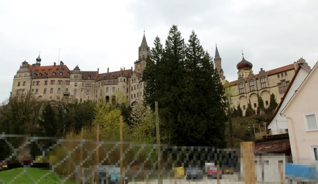
Sigmaringen Castle is the main thing to see in Sigmaringen. The interiors are more interesting than those of Hohenzollern Castle, since the Hohenzollerns lived there for a very long time. But even here the interiors are not too old, since the castle was rebuilt in the 19th century. You can only see it with a guided tour. The collection of weapons and tapestries from the Renaissance are particularly interesting.
The best views of the castle are from the opposite bank of the Danube (over the bridge from the railway station).

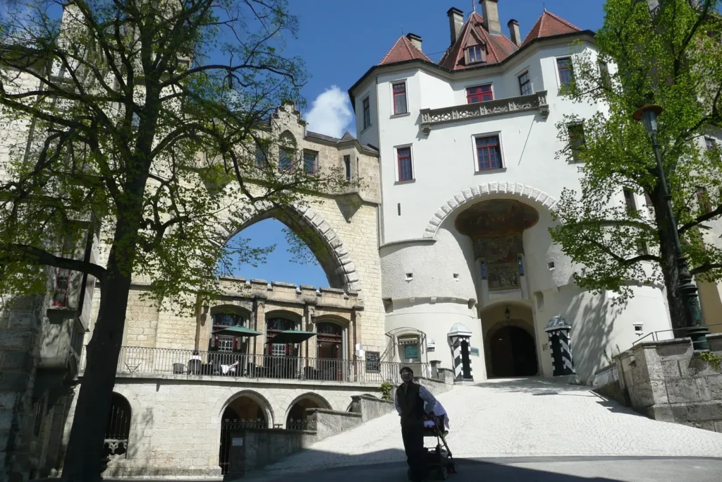
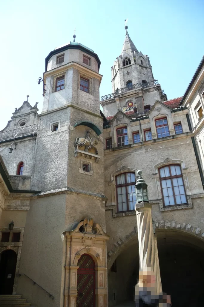
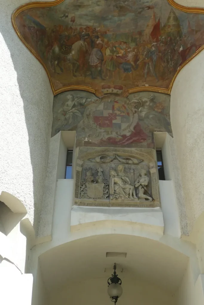
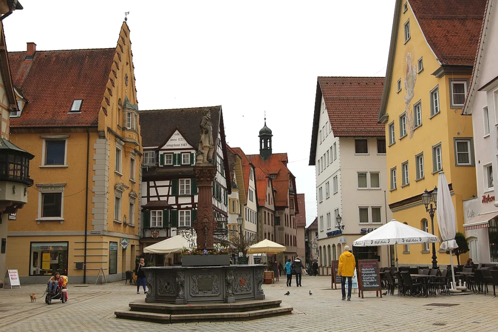
Sigmaringen has a very small and featureless old town.
High Black Forest map
Schiltach in the Black Forest (Schwarzwald)
Attractions of Black Forest (Schwarzwald). 1. From Altensteig to Gengenbach
Black Forest what to see. 2. From Gengenbach to Wildkirch
Swabian Alb map
Lake Constance map of attractions
Lake Constance. Meersburg attractions
Lake Constance. Mainau Island of flowers
Lake Constance (Bodensee). 1. Lake Überlingen
Tourist and guest cards of Lake Constance
Public transport around Lake Constance
Do you enjoy the site without cookies? This means that I work for you at my own expense.
Perhaps you would like to support my work here.
Or change your cookie settings here. I don’t use personalized ads

